Summary
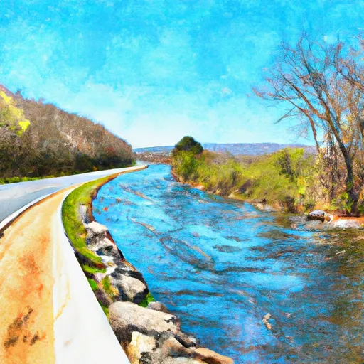
It is a concrete ramp that is 25 feet wide with a maximum water depth of 5 feet. The boat ramp provides access to the river for small boats such as canoes, kayaks, and john boats.
The Strasburg Trail boat ramp is located in Strasburg, Virginia, which is in Shenandoah County. The latitude and longitude provided are accurate and match the location on Google Maps.
It is always important to check for updates and changes in regulations or restrictions when using any boat ramp. It is recommended to check with local authorities or the Virginia Department of Wildlife Resources for the latest information.
°F
°F
mph
Wind
%
Humidity
15-Day Weather Outlook
5-Day Hourly Forecast Detail
Area Streamflow Levels
| N F SHENANDOAH RIVER NEAR STRASBURG | 1120cfs |
| PASSAGE CREEK NEAR BUCKTON | 515cfs |
| CEDAR CREEK NEAR WINCHESTER | 236cfs |
| S F SHENANDOAH RIVER AT FRONT ROYAL | 3550cfs |
| WAITES RUN NEAR WARDENSVILLE | 31cfs |
| HOGUE CREEK NEAR HAYFIELD | 38cfs |
River Runs
-
 State Route 675 At Edinburg, Va To State Highway 55 Southeast Of Strasburg, Va
-
 Segment C--Nf Boundary To Confluence With North Fork Shenandoah River
-
 Segment B--State Route 730 Bridge To Nf Boundary
-
 Headwaters Adjacent To Fdt 573 To State Route 622 Bridge
-
 Bixler Bridge On State Route 675 To Karo Landing, Approximately 6 Miles South Of Town Of Front Royal

 Strasburg Trail Strasburg