Summary
The ideal streamflow range for this segment is between 1500-3000 cfs, providing Class III-IV rapids. The segment mileage for this run is 0.5 miles, starting at the Headwaters and ending at the Upper Goodell Campground.
The specific rapids and obstacles on this run include the "Entrance Rapid," which starts with a steep drop into a boulder field, followed by "The Wall," a narrow chute with a steep drop. "The Slot" is a narrow and steep section with a tricky entrance, and "The Notch" is a tight S-curve with large boulders. The run finishes with "The S-Turn," a series of quick turns through a narrow channel.
This stretch of the Whitewater River is regulated by the National Park Service, with specific regulations in place to protect the environment and ensure safety. These regulations include a required permit to launch, a limit on the number of launches per day, and restrictions on equipment and group size. Additionally, visitors are required to follow Leave No Trace principles and respect wildlife and natural resources.
Sources:
- American Whitewater, "Whitewater River - Headwaters to Upper Goodell Campground," https://www.americanwhitewater.org/content/River/detail/id/2282/
- National Park Service, "North Cascades National Park - Whitewater River," https://www.nps.gov/noca/planyourvisit/whitewater-river.htm
°F
°F
mph
Wind
%
Humidity
15-Day Weather Outlook
River Run Details
| Last Updated | 2026-02-11 |
| River Levels | 1870 cfs (10.07 ft) |
| Percent of Normal | 118% |
| Status | |
| Class Level | iii-iv |
| Elevation | ft |
| Run Length | 13.0 Mi |
| Streamflow Discharge | cfs |
| Gauge Height | ft |
| Reporting Streamgage | USGS 12175500 |
5-Day Hourly Forecast Detail
Nearby Streamflow Levels
 Skagit River At Newhalem
|
7340cfs |
 Newhalem Creek Near Newhalem
|
30cfs |
 Thunder Creek Near Newhalem
|
355cfs |
 Bacon Creek Below Oakes Creek Near Marblemount
|
324cfs |
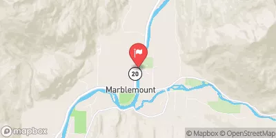 Skagit River At Marblemount
|
8760cfs |
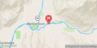 Cascade River At Marblemount
|
755cfs |
Area Campgrounds
| Location | Reservations | Toilets |
|---|---|---|
 Luna
Luna
|
||
 Twin Rocks
|
||
 Whatcom
|
||
 Beaver Pass
|
||
 Stillwell
|
||
 39 Mile
|
River Runs
-
 Headwaters To Upper Goodell Campground (Rm 0.5)
-
 Headwaters To North Cascades National Park Boundary
-
 Upper Goodell Campground (Rm 0.5) To Confluence With Skagit River
-
 Begins Below Gorge Powerhouse To Ross Lake National Recreation Area Boundary
-
 Begins Upstream Of The Diversion Dam (Rm 1) To Confluence With Skagit River
-
 Headwaters To U.S./Canadian Border

