Summary
The ideal streamflow range for this segment is between 1,500-4,500 cubic feet per second (cfs), which provides Class III-IV rapids. The total segment mileage is 7.2 miles, with a gradient of 87 feet per mile. The rapids on this segment include Corkscrew, Rattlesnake, and Kautz Creek Falls.
Specific regulations to the area include a required permit for all commercial and private rafters, which can be obtained through the National Park Service. Additionally, all boaters are required to wear appropriate personal flotation devices (PFDs) and follow Leave No Trace principles. The area is also designated as a Wild and Scenic River, which means that certain restrictions apply, such as no motorized boats and limited group size.
It is important to note that the Whitewater River Run can be dangerous and should only be attempted by experienced whitewater paddlers. Water levels can change rapidly, and there are many hazards, including undercut rocks and strainers. It is recommended that boaters scout the rapids before attempting them and that they paddle with a group of experienced paddlers.
Sources:
- National Park Service. (n.d.). Whitewater River Run. Retrieved from https://www.nps.gov/mora/planyourvisit/whitewater-river-run.htm
- American Whitewater. (n.d.). Whitewater River - Headwaters to Ends Upstream of the Diversion Dam (Rm 1), Washington. Retrieved from https://www.americanwhitewater.org/content/River/detail/id/1824/
°F
°F
mph
Wind
%
Humidity
15-Day Weather Outlook
River Run Details
| Last Updated | 2026-02-16 |
| River Levels | 639 cfs (5.25 ft) |
| Percent of Normal | 66% |
| Status | |
| Class Level | iii-iv |
| Elevation | ft |
| Run Length | 8.0 Mi |
| Streamflow Discharge | cfs |
| Gauge Height | ft |
| Reporting Streamgage | USGS 12179900 |
5-Day Hourly Forecast Detail
Nearby Streamflow Levels
 Newhalem Creek Near Newhalem
|
30cfs |
 Skagit River At Newhalem
|
6980cfs |
 Thunder Creek Near Newhalem
|
295cfs |
 Bacon Creek Below Oakes Creek Near Marblemount
|
227cfs |
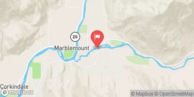 Cascade River At Marblemount
|
705cfs |
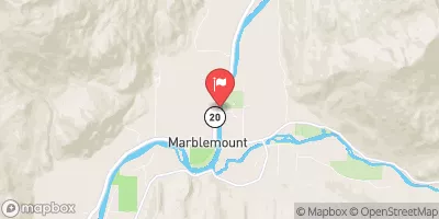 Skagit River At Marblemount
|
8150cfs |
Area Campgrounds
| Location | Reservations | Toilets |
|---|---|---|
 Monogram Lake
|
||
 Marble Creek
|
||
 Marble Creek Campground
|
||
 Tricouni
|
||
 McAllister
|
||
 Newhalem Creek - North Cascades
|
River Runs
-
 Headwaters To Ends Upstream Of The Diversion Dam (Rm 1)
-
 Begins Upstream Of The Diversion Dam (Rm 1) To Confluence With Skagit River
-
 Begins Below Gorge Powerhouse To Ross Lake National Recreation Area Boundary
-
 Upper Goodell Campground (Rm 0.5) To Confluence With Skagit River
-
 South Section Line Of Sec 24, T36N, R10E To Confluence With Skagit River
-
 Headwaters And Includes Tributaries To Confluence With Stehekin River

