Summary
The ideal streamflow range for this river run is between 800-2000 cfs. The class rating ranges from Class III to IV, with some sections being more technical than others.
The segment mileage for the Whitewater River Run is approximately 22 miles, starting at the headwaters and ending at the southern boundary of Olympic National Park. The river is known for its challenging rapids and obstacles, including Boulder Drop, which is a Class IV rapid that requires precise maneuvering.
There are specific regulations that apply to the Whitewater River Run. For example, all kayakers and rafters are required to wear a personal flotation device (PFD) and a helmet. Additionally, the use of alcohol and drugs is strictly prohibited on the river. It is important to note that the Whitewater River Run is recommended for experienced paddlers only, as the rapids can be dangerous for those who are not familiar with the river.
In conclusion, the Whitewater River Run is an exciting and challenging adventure that offers experienced paddlers a chance to test their skills on a beautiful and scenic river. It is important to follow all regulations and safety guidelines to ensure a safe and enjoyable experience.
°F
°F
mph
Wind
%
Humidity
15-Day Weather Outlook
River Run Details
| Last Updated | 2026-02-10 |
| River Levels | 553 cfs (3.94 ft) |
| Percent of Normal | 84% |
| Status | |
| Class Level | iii-iv |
| Elevation | ft |
| Run Length | 15.0 Mi |
| Streamflow Discharge | cfs |
| Gauge Height | ft |
| Reporting Streamgage | USGS 12056500 |
5-Day Hourly Forecast Detail
Nearby Streamflow Levels
Area Campgrounds
| Location | Reservations | Toilets |
|---|---|---|
 Two Bear Camp
|
||
 Home Sweet Home Camp
|
||
 Nine Stream Camp
|
||
 Flapjack Lakes Camp
|
||
 Camp Pleasant
|
||
 Upper Duckabush Camp
|
River Runs
-
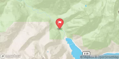
 Headwaters To Southern Boundary Of Olympic National Park
-
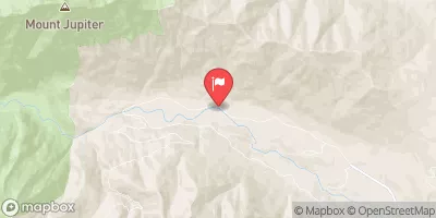
 Headwaters- Includes All Tributaries And Excludes Scout Lake And Hagen Lake To Confluence With Duckabush River
-
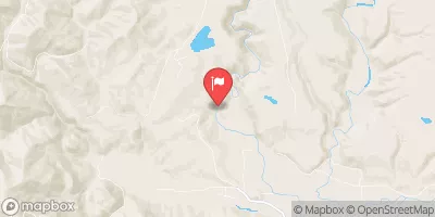
 Headwaters- Includes All Tributaries To Confluence With North Fork Skokomish River
-
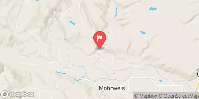
 Begin At Headwaters To Confluence With Duckabush River
-
 Headwaters- Includes All Tributaries And Excludes Flapjack Lakes To Confluence With North Fork Skokomish River


 Wilderness Wonder Mountain
 Wilderness The Brothers
 Lake Cushman State Park