

Summary
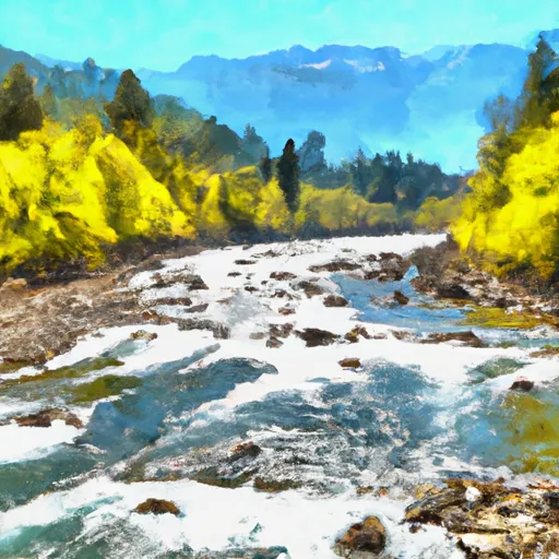
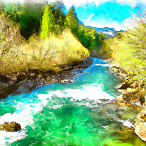
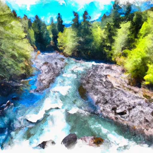
Its headwaters begin in the Olympic National Park and it includes all tributaries to its confluence with the North Fork Bogachiel River. The ideal streamflow range for this river is between 500 and 2,500 cubic feet per second (cfs). This provides for a challenging yet navigable experience for those seeking a thrill.
The segment mileage of the Whitewater River Run is approximately 8 miles, with a class rating of III-IV. This means that the river has moderate to difficult rapids with some technical features and obstacles that require advanced skills to navigate. Some of the notable rapids and obstacles on this river include Boulder Drop, The Slot, and The Chute.
The area is regulated by the Olympic National Park and the National Park Service. Any person wishing to access the river must have a valid permit and follow all park regulations. Additionally, it is important to note that the river may be closed during certain times of the year due to hazardous conditions or other safety concerns.
In summary, the Whitewater River Run in Washington State is a challenging yet exhilarating experience for experienced whitewater enthusiasts. With a moderate to difficult class rating, significant rapids and obstacles, and specific regulations in place, it is important to plan ahead and ensure that safety is the top priority while enjoying this adventure.
Regional Streamflow Levels
15-Day Long Term Forecast
River Run Details
| Last Updated | 2026-05-06 |
| River Levels | 1890 cfs (3.17 ft) |
| Percent of Normal | 72% |
| Status | |
| Class Level | None |
| Elevation | ft |
| Run Length | 19.0 Mi |
| Streamflow Discharge | cfs |
| Gauge Height | ft |
| Reporting Streamgage | USGS 12041200 |

5-Day Hourly Forecast Detail
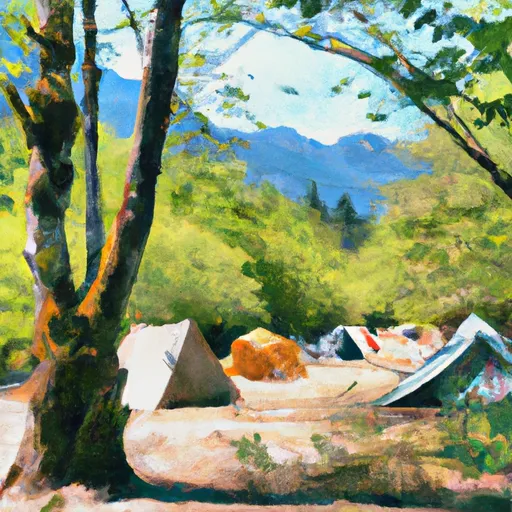
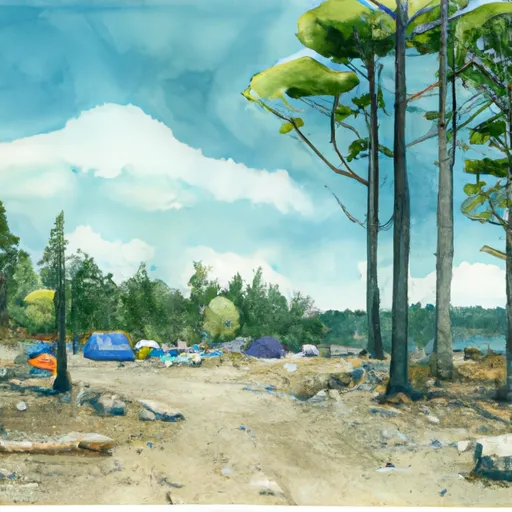
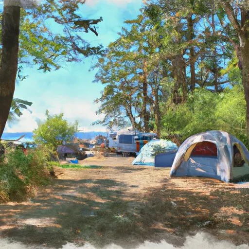
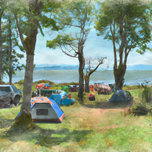
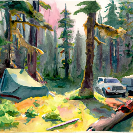
Area Campgrounds
| Location | Reservations | Toilets |
|---|---|---|
 Hoh Rain Forest
|
||
 Mount Tom Creek Campsites
|
||
 Mink Lake Campground
|
||
 Five Mile Island Campsite
|
||
 Five Mile Island Campsites
|
||
 Sol Duc
|
 Headwaters And Includes All Tributaries To Confluence With North Fork Bogachiel River
 Headwaters And Includes All Tributaries To Confluence With Bogachiel River
 Headwaters And Includes All Tributaries To Confluence With Brush Creek