

Summary
The Headwaters of the river are located in the Olympic National Forest, and the river extends for a total of 26 miles until it meets with the Bogachiel River.
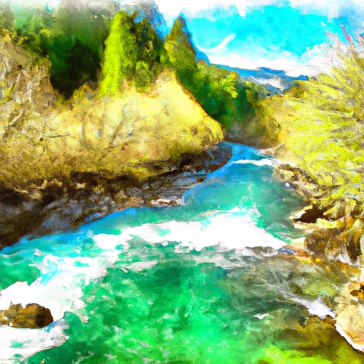
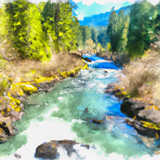
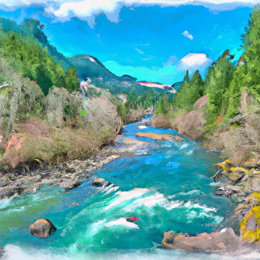
The ideal streamflow range for the Whitewater River is typically between 1,000 and 3,000 cubic feet per second (cfs), with peak flows occurring in late spring and early summer. The river is classified as a Class III to Class IV river, depending on the segment of the river being navigated.
The segment of the river most commonly rafted is the lower 8-mile stretch, which features Class III and IV rapids, including "The Chute" and "The Slot." Other notable rapids on the river include "The Squeeze" and "The Pinch."
There are specific regulations in place for the Whitewater River Run, including a requirement for all rafters to wear personal flotation devices (PFDs) and helmets, as well as restrictions on the maximum size of rafts allowed on the river. Additionally, the use of alcohol or drugs while on the river is strictly prohibited.
Overall, the Whitewater River Run offers a thrilling and challenging whitewater rafting experience for those seeking a high-adrenaline adventure in Washington state.
Regional Streamflow Levels


15-Day Long Term Forecast
River Run Details
| Last Updated | 2026-05-05 |
| River Levels | 1890 cfs (3.17 ft) |
| Percent of Normal | 73% |
| Status | |
| Class Level | iii-iv |
| Elevation | ft |
| Run Length | 2.0 Mi |
| Streamflow Discharge | cfs |
| Gauge Height | ft |
| Reporting Streamgage | USGS 12041200 |

5-Day Hourly Forecast Detail
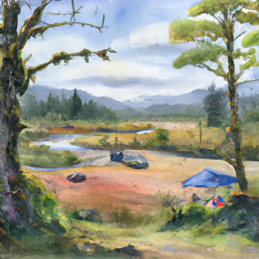
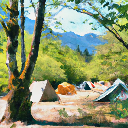
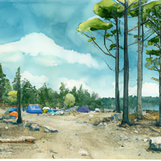
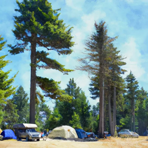
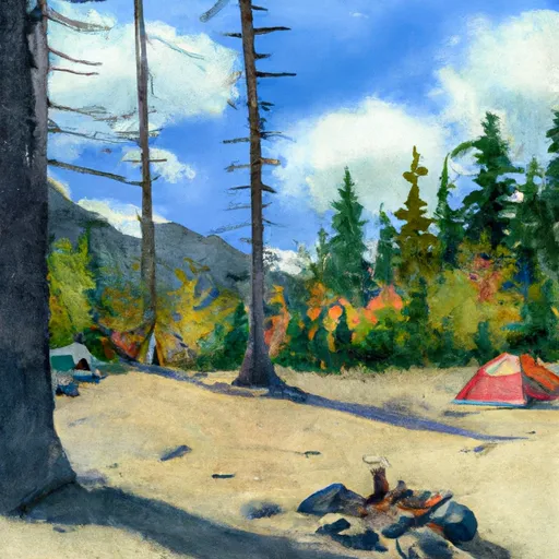
Area Campgrounds
| Location | Reservations | Toilets |
|---|---|---|
 Hoh Rain Forest
|
||
 Hoh River Trust
|
||
 Mount Tom Creek Campsites
|
||
 Mink Lake Campground
|
||
 Minnie Peterson Campground
|
||
 Minnie Peterson
|
River Runs
-
 Headwaters And Includes All Tributaries To Confluence With Bogachiel River
-
 Headwaters And Includes All Tributaries To Confluence With Sunday Creek
-
 Headwaters And Includes All Tributaries To Confluence With South Fork Calawah River
-
 Headwaters And Includes All Tributaries To Confluence With North Fork Bogachiel River