Summary
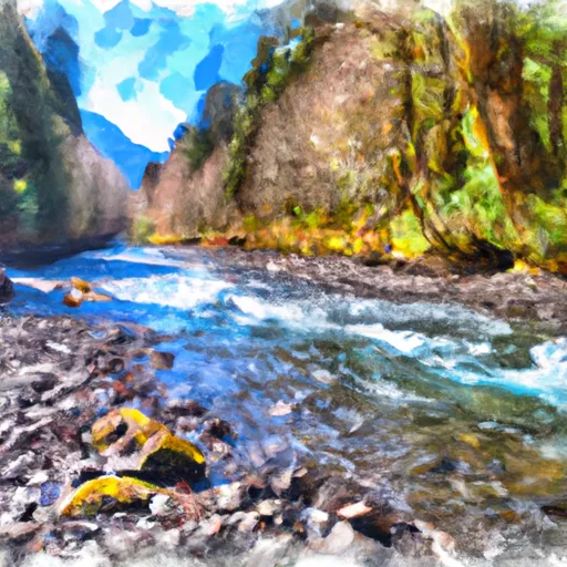
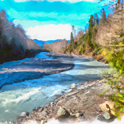
The ideal streamflow range for this run is between 800 and 1500 cubic feet per second (cfs). This segment of the river is rated as a Class III-IV run, and covers a distance of approximately 6 miles from the end of North Fork Quinault Road to the confluence with the Main Branch Quinault River.
The Whitewater River Run features several challenging rapids and obstacles, including Boulder Drop, Landslide Rapid, and Logjam Rapid. Boulder Drop is an intense Class IV rapid that requires precise maneuvering through a narrow gap in a large boulder. Landslide Rapid is another Class IV rapid that features a steep drop and a narrow channel that requires careful navigation. Logjam Rapid is a Class III rapid that requires paddlers to navigate through a series of logjams and obstacles.
In order to preserve the natural beauty and ecological integrity of the area, there are specific regulations that apply to the Whitewater River Run. These include restrictions on the use of motorized vehicles, camping, and fires. Additionally, visitors are encouraged to follow Leave No Trace principles and pack out all trash and waste.
Overall, the Whitewater River Run offers a thrilling and challenging whitewater experience for experienced paddlers. It is important to check current streamflow conditions and to follow all regulations and safety guidelines to ensure a safe and enjoyable trip.
°F
°F
mph
Wind
%
Humidity
15-Day Weather Outlook
River Run Details
| Last Updated | 2026-02-07 |
| River Levels | 210 cfs (1.3 ft) |
| Percent of Normal | 105% |
| Status | |
| Class Level | iii-iv |
| Elevation | ft |
| Run Length | 15.0 Mi |
| Streamflow Discharge | cfs |
| Gauge Height | ft |
| Reporting Streamgage | USGS 12035400 |
5-Day Hourly Forecast Detail
Nearby Streamflow Levels
Area Campgrounds
| Location | Reservations | Toilets |
|---|---|---|
 Graves Creek Campground
|
||
 Pony Bridge Camp
|
||
 Success Creek
|
||
 Lake Sundown
|
||
 Campbell Tree Grove
|
||
 Campbell Tree Grove Campground
|
River Runs
-
 End Of North Fork Quinault Road To Confluence With The Main Branch Quinault River
-
 Headwaters And Includes All Tributaries Upstream From North Fork Quinault Road To Confluence With North Fork Quinault River
-
 Headwaters And Includes All Tributaries To Confluence With North Fork Quinault River
-
 Headwaters And Includes All Tributaries Downstream From The End Of Graves Creek Road And Confluence With Graves Creek To Western Boundary Of Olympic National Park
-
 End Of Graves Creek Road And Confluence With Graves Creek To Western Boundary Of Olympic National Park


