Summary
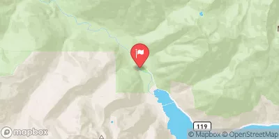
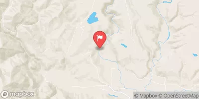
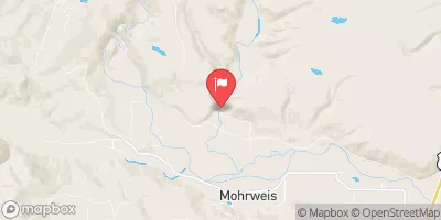
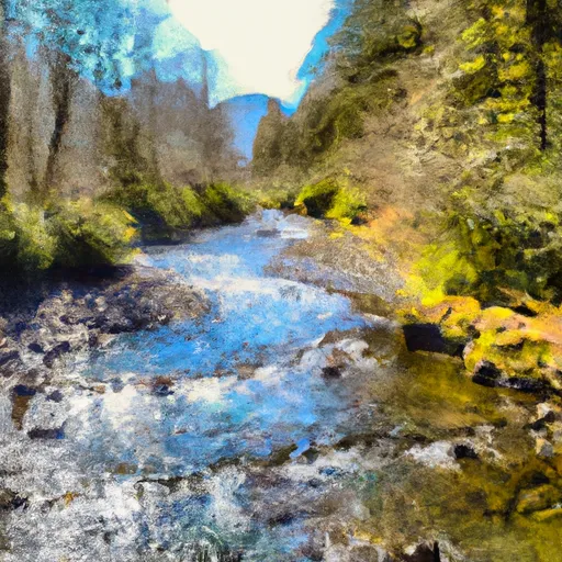
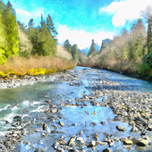
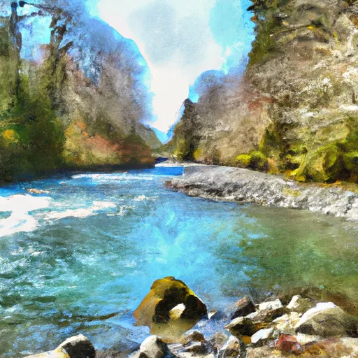
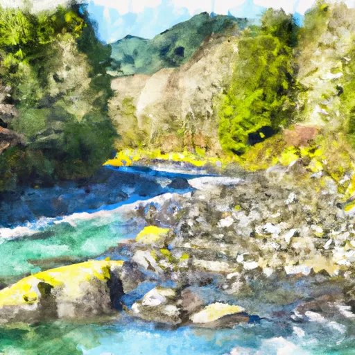
The ideal streamflow range for this run is between 800-2000 cfs. The segment mileage of this run is approximately 6 miles, starting at the end of Graves Creek Road and ending at the western boundary of Olympic National Park.
The class rating for this run is class III to IV, with some technical class V rapids. Some of the specific rapids and obstacles on this run include Boulder Drop, the Narrows, and the Flume. Boulder Drop is a class V rapid with a steep drop and a big hole at the bottom. The Narrows is a technical class IV rapid with tight rocks and a fast current. The Flume is a class III rapid with a fun wave train.
It is important to note that there are specific regulations for this area. Permits are required for overnight trips, and all boaters must carry a Washington State Discover Pass for vehicle access to the put-in and take-out areas. Additionally, all boaters must adhere to the Leave No Trace principles and pack out all trash.
Overall, the Whitewater River Run is a challenging and exciting destination for experienced kayakers and rafters. It is important to verify streamflow levels and adhere to all regulations for a safe and enjoyable experience.
°F
°F
mph
Wind
%
Humidity
15-Day Weather Outlook
River Run Details
| Last Updated | 2026-02-07 |
| River Levels | 210 cfs (1.3 ft) |
| Percent of Normal | 105% |
| Status | |
| Class Level | iii-v |
| Elevation | ft |
| Run Length | 17.0 Mi |
| Streamflow Discharge | cfs |
| Gauge Height | ft |
| Reporting Streamgage | USGS 12035400 |
5-Day Hourly Forecast Detail
Nearby Streamflow Levels
Area Campgrounds
| Location | Reservations | Toilets |
|---|---|---|
 Graves Creek Campground
|
||
 Pony Bridge Camp
|
||
 Success Creek
|
||
 Lake Sundown
|
||
 O'Neil Creek Camp
|
||
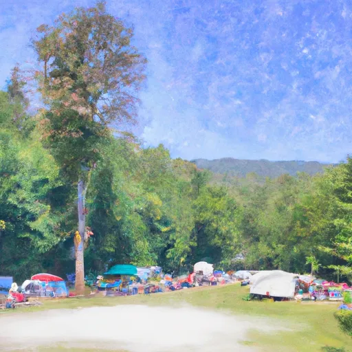 Belview Camp
|
River Runs
-
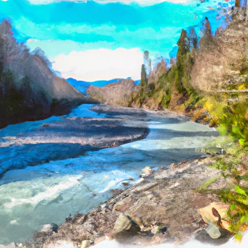 End Of Graves Creek Road And Confluence With Graves Creek To Western Boundary Of Olympic National Park
-
 Headwaters And Includes All Tributaries Upstream From Graves Creek Road And Confluence With Graves Creek To Confluence With Quinault River
-
 Headwaters And Includes All Tributaries Upstream From North Fork Quinault Road To Confluence With North Fork Quinault River
-
 End Of North Fork Quinault Road To Confluence With The Main Branch Quinault River
-
 Headwaters And Includes All Tributaries To Confluence With North Fork Quinault River
-
 Headwaters And Includes All Tributaries To Confluence With Quinault River


