Summary
The ideal streamflow range for the Whitewater River is between 500-1500 cubic feet per second (cfs), which typically occurs in the spring and early summer months.
The river is broken up into three segments, with the upper segment being the most challenging and technical. The upper segment spans 6.5 miles and is rated as a class V+ run, with several steep drops, waterfalls, and tight boulder gardens. The middle segment spans 4 miles and is rated as a class IV-V run, with continuous rapids and several large drops. The lower segment spans 2.5 miles and is rated as a class III-IV run, with fun, playful rapids and a few technical sections.
There are several notable rapids on the Whitewater River, including "Entrance Exam," "S-Turn," "Corkscrew," and "The Slot." Obstacles such as strainers and log jams can be found throughout the river and should be navigated with caution.
Regulations for the Whitewater River include obtaining a permit from the Olympic National Park, using Leave No Trace principles, and following all safety guidelines and regulations set by the National Park Service. It is recommended that paddlers have advanced whitewater skills and experience before attempting the Whitewater River.
°F
°F
mph
Wind
%
Humidity
15-Day Weather Outlook
River Run Details
| Last Updated | 2026-02-07 |
| River Levels | 1830 cfs (3.82 ft) |
| Percent of Normal | 95% |
| Status | |
| Class Level | iv-v |
| Elevation | ft |
| Run Length | 134.0 Mi |
| Streamflow Discharge | cfs |
| Gauge Height | ft |
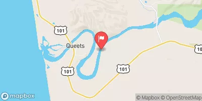
| Reporting Streamgage | USGS 12039500 |
5-Day Hourly Forecast Detail
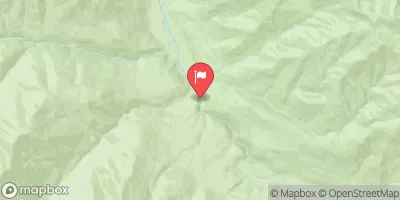
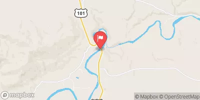
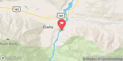
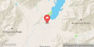
Nearby Streamflow Levels
Area Campgrounds
River Runs
-
 Headwaters And Includes All Tributaries To Confluence With South Fork Hoh River
-
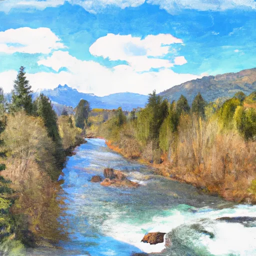 Headwaters And Includes All Tributaries To Confluence With Queets River
-
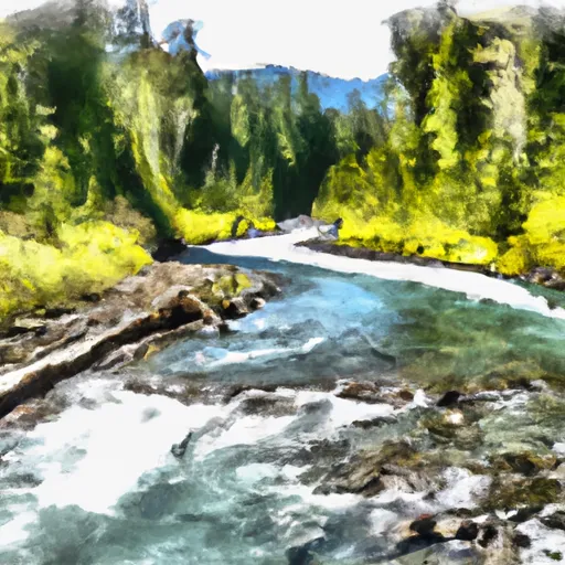 Headwaters And Inlcudes All Tributaries To Confluence With South Fork Hoh River
-
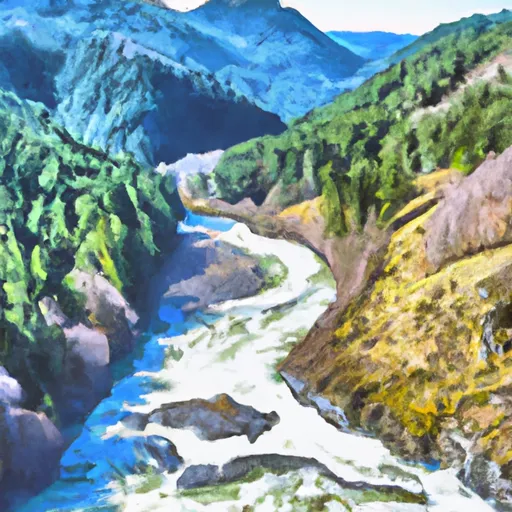 Headwaters And Includes All Tributaries To Confluence With Unnamed Tributaries


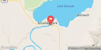
 Five Mile Island Campsites
 Yahoo Lake Campground
 Happy Four Campsite #2
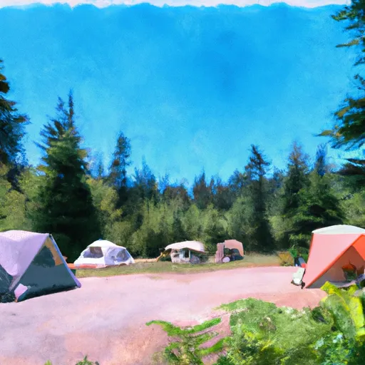 Happy Four Campsite #1
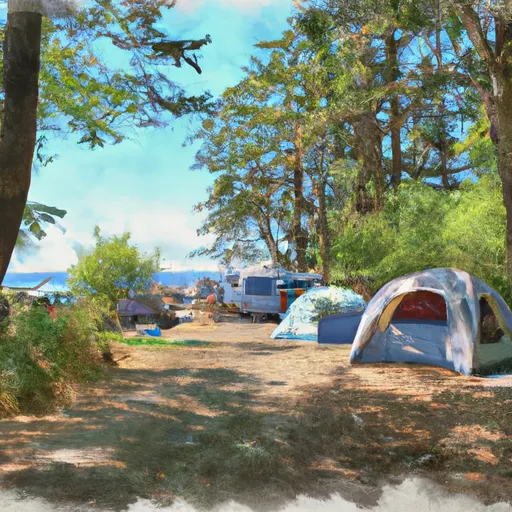 Five Mile Island Campsite
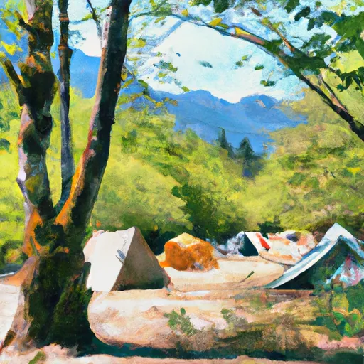 Mount Tom Creek Campsites