The Confluence With The Grande Ronde River To Ends In The Slack Water Of The Lower Granite Reservoir, Located One Half Mile Above The Town Of Asotin, Washington Paddle Report
Last Updated: 2026-02-07
The Whitewater River Run begins at the confluence with the Grande Ronde River and ends in the slack water of the Lower Granite Reservoir, located half a mile above Asotin, Washington.
Summary
The ideal streamflow range for this run is between 1,500 and 3,000 cfs, with peak flows occurring in May and early June. The segment mileage is approximately 12 miles, and the class rating ranges from II to IV.
The river rapids/obstacles in this run include "The Narrows," a Class III rapid with a narrow chute requiring precise maneuvering, and "Big Eddy," a Class II rapid that provides a fun playground for kayakers and rafters. The run also features numerous boulder gardens and wave trains that add excitement to the trip.
There are specific regulations for the area, including a requirement for all boaters to wear personal flotation devices and to carry a whistle or other sound-producing device. Additionally, motorized boats are not allowed on this section of the river, and boaters must obtain a permit from the Washington State Parks and Recreation Commission to launch from designated sites.
Overall, the Whitewater River Run offers a thrilling adventure for intermediate to advanced whitewater enthusiasts. It is important to note that water levels can fluctuate rapidly, so it is essential to check the current streamflow before planning a trip.
°F
°F
mph
Wind
%
Humidity
15-Day Weather Outlook
River Run Details
| Last Updated | 2026-02-07 |
| River Levels | 59000 cfs (10.54 ft) |
| Percent of Normal | 71% |
| Status | |
| Class Level | iii-ii |
| Elevation | ft |
| Run Length | 21.0 Mi |
| Streamflow Discharge | cfs |
| Gauge Height | ft |
| Reporting Streamgage | USGS 13334300 |
5-Day Hourly Forecast Detail
Nearby Streamflow Levels
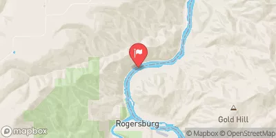 Snake River Near Anatone
|
21000cfs |
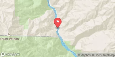 Snake River Bl Mcduff Rapids At China Gardens
|
19400cfs |
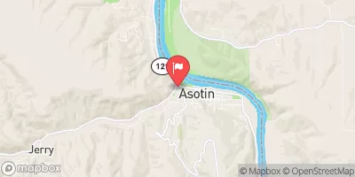 Asotin Creek At Asotin
|
79cfs |
 Webb Creek Near Sweetwater Id
|
-999999cfs |
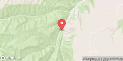 Asotin Creek Below Confluence Near Asotin
|
54cfs |
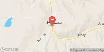 Sweetwater Creek At Mouth At Sweetwater Id
|
8cfs |
Area Campgrounds
| Location | Reservations | Toilets |
|---|---|---|
 Lime Hill Campsite
|
||
 Wild Goose Campsite
|
||
 Below Corral Creek Campsite
|
||
 Across Corral Creek Campsite
|
||
 Lower China Garden Campsite
|
||
 China Garden Campsite
|
River Runs
-
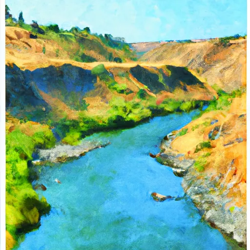 The Confluence With The Grande Ronde River
To Ends In The Slack Water Of The Lower Granite Reservoir, Located One Half Mile Above The Town Of Asotin, Washington
-
 Grande Ronde River (Lower)
-
 Snake River - 4.01
-
 Joseph Creek
-
 The Northern Boundary Of The Wallowa-Whitman National Forest To The Confluence With The Grande Ronde River

