Summary
The ideal streamflow range for this run is between 500 and 1500 cfs, depending on the season. The segment mileage for this run is 12 miles, and it is rated as a class III-IV rapids.
The river features several exciting rapids and obstacles, including the Boulder Drop, a class IV rapid that challenges even the most experienced paddlers. Other notable rapids include the Bumping Drop and The Narrows.
It is important to note that the Whitewater River Run is subject to regulations set by the National Park Service. All boaters must obtain a permit to access the river, and there are strict regulations around safety equipment and group size. As with all whitewater adventures, it is important to practice proper safety measures and have the proper equipment before attempting this run.
Overall, the Whitewater River Run from Headwaters at American Lake to Confluence with Rainier Fork is a challenging and exhilarating adventure for skilled kayakers and rafters. It is important to respect the regulations and safety measures in place to ensure a safe and enjoyable experience on the river.
°F
°F
mph
Wind
%
Humidity
15-Day Weather Outlook
River Run Details
| Last Updated | 2026-02-07 |
| River Levels | 279 cfs (73.11 ft) |
| Percent of Normal | 61% |
| Status | |
| Class Level | iii-iv |
| Elevation | ft |
| Streamflow Discharge | cfs |
| Gauge Height | ft |
| Reporting Streamgage | USGS 12488500 |
5-Day Hourly Forecast Detail
Nearby Streamflow Levels
 American River Near Nile
|
189cfs |
 Greenwater River At Greenwater
|
151cfs |
 Cowlitz River At Packwood
|
1330cfs |
 White River Below Clearwater River Nr Buckley
|
2550cfs |
 Puyallup River Near Electron
|
212cfs |
 Carbon River Near Fairfax
|
198cfs |
Area Campgrounds
| Location | Reservations | Toilets |
|---|---|---|
 Sheep Lake Backcountry Camping
|
||
 Upper Crystal Lake Camp
|
||
 Lower Crystal Lake Camp
|
||
 Bumping Lake Campground
|
||
 Bumping Lake
|
||
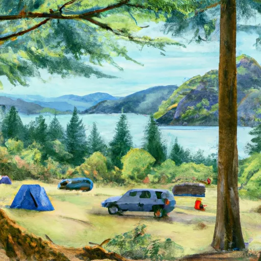 Deer Creek Camp
|


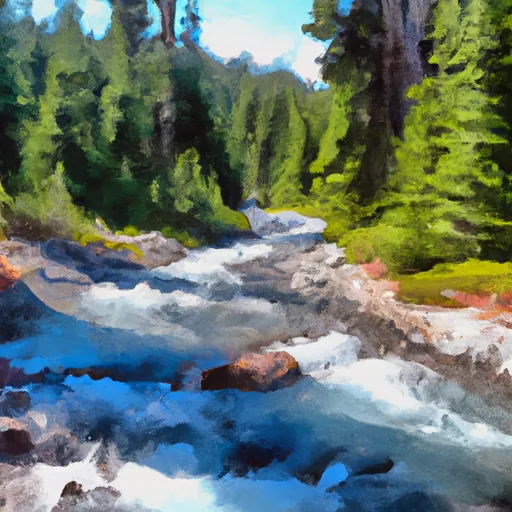 Headwaters At American Lake To Confluence With Ranier Fork
 Confluence With Chinook Creek To Southern Boundary Of Mount Rainier National Park
 Headwaters On The Southeast Flank Of Mount Rainier At An Elevation Of 5500 Ft To Confluence With Chinook Creek