Summary
It begins at the headwaters on the southeast flank of Mount Rainier at an elevation of 5500 ft and flows down to the confluence with Chinook Creek in the state of Washington. The ideal streamflow range for this run is between 800 and 3000 cfs, depending on the season.
The class rating for this run varies between Class III and Class IV, making it suitable for intermediate to advanced paddlers. The segment mileage of the Whitewater River run is approximately 6.5 miles, with a total drop of 550 feet.
There are several challenging rapids and obstacles along the way, including Boulder Drop, Pinball, and Screaming Left Turn. These rapids require technical skills and precise maneuvering to navigate safely. The scenery along the run is breathtaking, with stunning views of Mount Rainier and the surrounding forests.
There are specific regulations to the area that must be followed for safety and conservation purposes. The use of personal flotation devices is mandatory, and all participants must have adequate experience and equipment for the run. The area is also subject to seasonal closures, so it is essential to check with local authorities before planning a trip.
In conclusion, the Whitewater River run is a thrilling adventure for experienced whitewater paddlers. With its challenging rapids, beautiful scenery, and specific regulations, it is an unforgettable experience for those up for the adventure.
°F
°F
mph
Wind
%
Humidity
15-Day Weather Outlook
River Run Details
| Last Updated | 2026-02-10 |
| River Levels | 2230 cfs (2.36 ft) |
| Percent of Normal | 106% |
| Status | |
| Class Level | iii-iv |
| Elevation | ft |
| Run Length | 6.0 Mi |
| Streamflow Discharge | cfs |
| Gauge Height | ft |
| Reporting Streamgage | USGS 14226500 |
5-Day Hourly Forecast Detail
Nearby Streamflow Levels
 Cowlitz River At Packwood
|
1730cfs |
 Puyallup River Near Electron
|
296cfs |
 Nisqually River Near National
|
621cfs |
 Greenwater River At Greenwater
|
182cfs |
 Carbon River Near Fairfax
|
256cfs |
 White River Below Clearwater River Nr Buckley
|
2550cfs |
Area Campgrounds
| Location | Reservations | Toilets |
|---|---|---|
 Indian Bar Camp
|
||
 Camp Muir
|
||
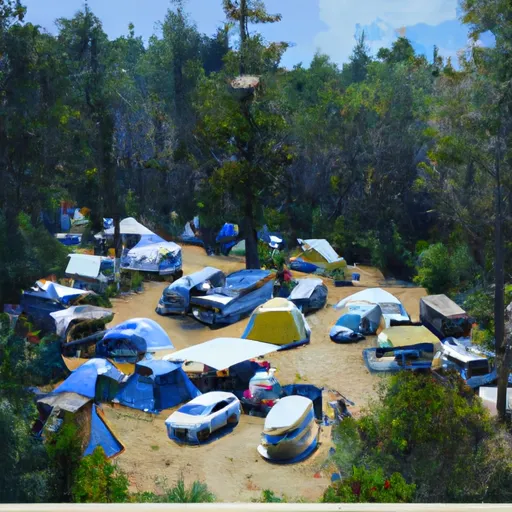 Camp Curtis
|
||
 White River - Mount Rainier National Park
|
||
 Camp Hazard
|
||
 Olallie Creek Camp
|
River Runs
-
 Headwaters On The Southeast Flank Of Mount Rainier At An Elevation Of 5500 Ft To Confluence With Chinook Creek
-
 Headwaters At The Terminus Of The Ingraham Glacier To Ends 1/4 Mile North Of Box Canyon
-
 Confluence With Chinook Creek To Southern Boundary Of Mount Rainier National Park
-
 Begins 1/4 Mile South Of Box Canyon To Southern Boundary Of Mount Rainier National Park
-
 Begins 1/4 Mile North Of Box Canyon To Ends 1/4 Mile South Of Box Canyon
-
 Headwaters In The Mystic Lake Basin On The North Side Of Mount Rainier To Northern Boundary Of Mount Rainier National Park


 Wilderness Clearwater
 Wilderness Tatoosh
 Wilderness Norse Peak