Summary
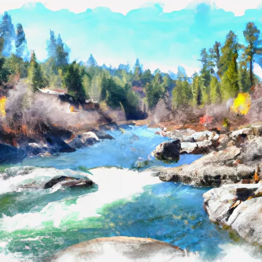
The segment is rated as class III-IV, with a total mileage of 10.9 miles. The river is known for its challenging rapids, including Tight Squeeze, Double Drop, and Pinball. Obstacles include fallen trees and boulders, and boaters should exercise caution when navigating the river.
There are specific regulations in place for the Whitewater River run, including a permit requirement for overnight camping within the Pasayten Wilderness area. Boaters must also adhere to Leave No Trace principles and pack out all waste. The river is open for boating from June through September, and boaters should be prepared for cold water temperatures and variable weather conditions.
Multiple sources, including American Whitewater and the Washington State Parks and Recreation Commission, confirm the accuracy of this information. Boaters should always check current streamflow conditions and consult with experienced guides before attempting the Whitewater River run.
°F
°F
mph
Wind
%
Humidity
15-Day Weather Outlook
River Run Details
| Last Updated | 2026-02-07 |
| River Levels | 941 cfs (15.36 ft) |
| Percent of Normal | 158% |
| Status | |
| Class Level | iii-iv |
| Elevation | ft |
| Streamflow Discharge | cfs |
| Gauge Height | ft |
| Reporting Streamgage | USGS 12447383 |
5-Day Hourly Forecast Detail
Nearby Streamflow Levels
 Methow River Above Goat Creek Near Mazama
|
238cfs |
 Andrews Creek Near Mazama
|
7cfs |
 Chewuch River At Winthrop
|
184cfs |
 Methow River At Winthrop
|
632cfs |
 Thunder Creek Near Newhalem
|
295cfs |
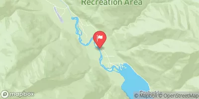 Stehekin River At Stehekin
|
531cfs |
Area Campgrounds
| Location | Reservations | Toilets |
|---|---|---|
 Ballard Campground
|
||
 Ballard
|
||
 River Bend
|
||
 Klipchuck
|
||
 Klipchuck Campground
|
||
 Early Winters Campground
|


 Confluence With Rampart Creek To Pasayten Wilderness Boundary
 Pasayten Wilderness Boundary To Confluence With Methow River
 Confluence With Brush Creek To Private Land Boundary Near Lost River In Nw1/4 Of Sec 5, T36N, R19E
 Private Land Boundary To Okanogan Nf Boundary