Summary
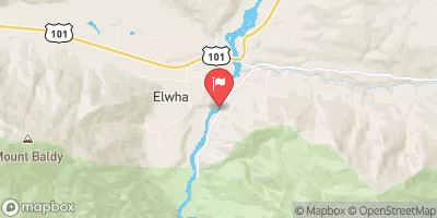
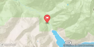
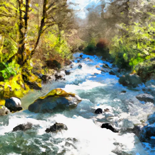
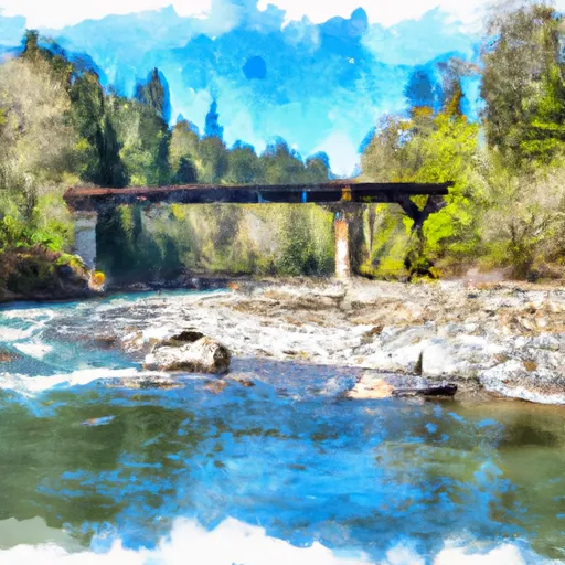
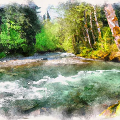
The section from Forest Road 2860 Bridge to Silver Creek is approximately 7.5 miles long and is rated as a Class III-IV stretch. The ideal streamflow range for rafting on this section of the river is between 1000-3000 cfs.
There are several notable rapids and obstacles along the way, including "Kaner's Ledge," "The Bathtub," and "The Notch." These rapids are known for their technical and challenging nature and require experienced rafting skills.
There are specific regulations that must be followed when rafting on the Whitewater River, including the use of personal flotation devices and helmets, as well as restrictions on alcohol consumption. It is also important to be aware of private property boundaries and respect the natural environment.
Overall, the Whitewater River Run from Forest Road 2860 Bridge to Silver Creek provides an exciting and challenging rafting experience for those with the proper skills and equipment. It is important to abide by the regulations and respect the natural environment to ensure a safe and enjoyable trip.
°F
°F
mph
Wind
%
Humidity
15-Day Weather Outlook
River Run Details
| Last Updated | 2026-02-07 |
| River Levels | 551 cfs (3.78 ft) |
| Percent of Normal | 79% |
| Status | |
| Class Level | iii-iv |
| Elevation | ft |
| Streamflow Discharge | cfs |
| Gauge Height | ft |
| Reporting Streamgage | USGS 12048000 |
5-Day Hourly Forecast Detail
Nearby Streamflow Levels
Area Campgrounds
| Location | Reservations | Toilets |
|---|---|---|
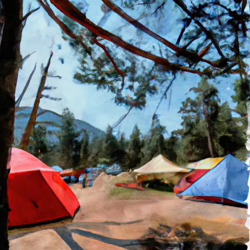 Camp Windy
|
||
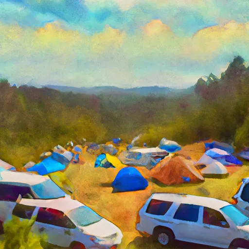 Camp Handy
|
||
 Dungeness Forks
|
||
 Dungeness Forks Campground
|
||
 Camp Mystery
|
||
 Louella Cabin
|
River Runs
-
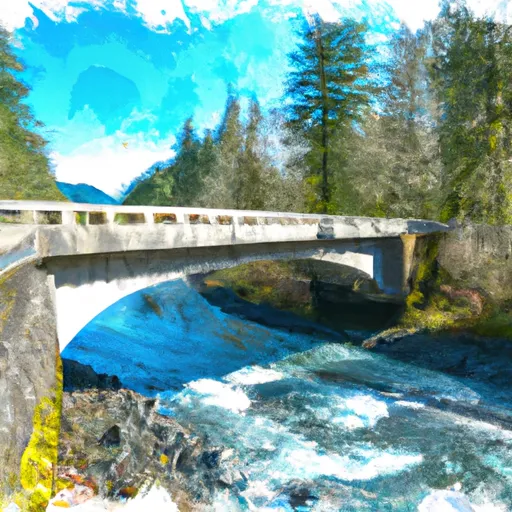 Forest Road 2860 Bridge To Silver Creek
-
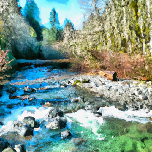 Confluence Of Milk Creek And Heather Creeks To Forest Road 2860 Bridge
-
 Silver Creek To Sleepy Hollow Creek
-
 Olympic Nf/Olympic Np Boundary To Usfs Road 2870 Bridge
-
 Usfs Road 2870 Bridge To Confluence With Dungeness River
-
 Sleepy Hollow Creek To Olympic Nf Boundary


