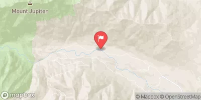
Confluence Of Milk Creek And Heather Creeks To Forest Road 2860 Bridge Paddle Report
Last Updated: 2026-02-07
The Whitewater River run from the Confluence of Milk Creek and Heather Creeks to Forest Road 2860 Bridge in Washington is a Class III-IV whitewater run that is ideal for intermediate and advanced paddlers.
Summary
The ideal streamflow range for this section of the river is between 800-3000 cfs, with the best times to paddle being during the spring snowmelt or after heavy rain.
The segment mileage of this run is approximately 8 miles, with a number of notable rapids and obstacles along the way. Some of the most challenging rapids include "Big Brother" and "Little Brother," which require precise maneuvering and strong paddling skills. Other notable features of the river include a series of tight canyons, steep drops, and rocky boulder gardens.
It's important to note that there are regulations in place for this area to ensure the safety of all paddlers. For example, anyone venturing out on the river must wear a properly fitting personal flotation device (PFD) at all times. Additionally, it's recommended that paddlers have prior whitewater experience before attempting this run, as the rapids and obstacles can be quite challenging.
Overall, the Whitewater River run from the Confluence of Milk Creek and Heather Creeks to Forest Road 2860 Bridge is a thrilling and challenging whitewater experience that should only be attempted by experienced paddlers with the proper gear and knowledge.
°F
°F
mph
Wind
%
Humidity
15-Day Weather Outlook
River Run Details
| Last Updated | 2026-02-07 |
| River Levels | 551 cfs (3.78 ft) |
| Percent of Normal | 79% |
| Status | |
| Class Level | iii-iv |
| Elevation | ft |
| Streamflow Discharge | cfs |
| Gauge Height | ft |
| Reporting Streamgage | USGS 12048000 |
5-Day Hourly Forecast Detail
Nearby Streamflow Levels
Area Campgrounds
| Location | Reservations | Toilets |
|---|---|---|
 Camp Handy
|
||
 Camp Windy
|
||
 Camp Mystery
|
||
 Dungeness Forks
|
||
 Dungeness Forks Campground
|
||
 Deer Park - Olympic National Park
|
River Runs
-
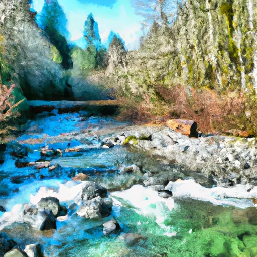 Confluence Of Milk Creek And Heather Creeks To Forest Road 2860 Bridge
-
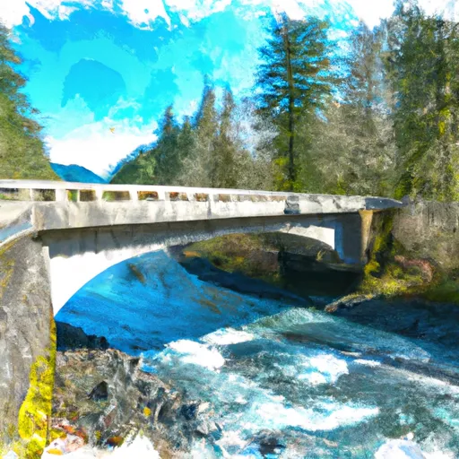 Forest Road 2860 Bridge To Silver Creek
-
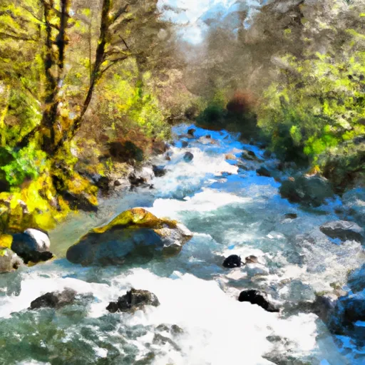 Silver Creek To Sleepy Hollow Creek
-
 Headwaters At 5700 Ft In The Royal Basin And Includes All Tributaries Within The Park To Eastern Boundary Of Olympic National Forest
-
 Olympic Nf/Olympic Np Boundary To Usfs Road 2870 Bridge
-
 Headwaters At About 6000 Ft. In Basins On The North Side Of Gray Wolf Pass And Includes All Tributaries Within The Park To Eastern Boundary Of Olympic National Forest


