Summary
The ideal streamflow range for this run is between 2,000 and 4,000 cfs. The segment mileage for this stretch of river is approximately 7 miles long, and it is rated as a class III-IV river.
The river is fed by multiple tributaries, which contribute to its high flow rate. The river contains several rapids, including Boulder Drop, Railroad, and S-Turn. These rapids offer a fun and challenging experience for whitewater enthusiasts, but they can also be dangerous if not approached with caution.
There are specific regulations that apply to this area. The use of personal flotation devices (PFDs) is mandatory, and all boaters must wear a helmet. The area is also subject to periodic closures due to high water levels or other safety concerns.
Overall, the Glacier Peak Wilderness Boundary to Confluence with Sauk River run offers a thrilling and challenging whitewater experience. However, it is important for boaters to be aware of the specific regulations and to approach the river with caution to ensure a safe and enjoyable experience.
°F
°F
mph
Wind
%
Humidity
15-Day Weather Outlook
River Run Details
| Last Updated | 2026-02-07 |
| River Levels | 1600 cfs (4.05 ft) |
| Percent of Normal | 92% |
| Status | |
| Class Level | iii-iv |
| Elevation | ft |
| Streamflow Discharge | cfs |
| Gauge Height | ft |
| Reporting Streamgage | USGS 12186000 |
5-Day Hourly Forecast Detail
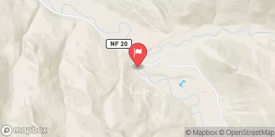
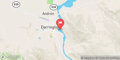
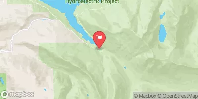
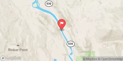
Nearby Streamflow Levels
Area Campgrounds
| Location | Reservations | Toilets |
|---|---|---|
 Peek-a-boo Lake Campsites
|
||
 Bedal Campground
|
||
 Bedal
Bedal
|
||
 Coal Creek Group Campground
|
||
 Beaver Creek Group Campground
|
||
 Buck Creek
|
River Runs
-
 Glacier Peak Wilderness Boundary To Confluence With Sauk River
-
 Glacier Peak Wilderness Boundary To Confluence With Suiattle River
-
 Headwaters In Ne1/4 Of Sec 4, T33N, R12E To Glacier Peak Wilderness Boundary
-
 Headwaters In Nw1/4 Of Sec 6, T29N, R14E To Glacier Peak Wilderness Boundary
-
 Headwaters In Sw1/4 Of Sec 19, T29N, R14E To Boundary Of The North Fork Sauk Portion Of Skagit Wsr


 Nels Bruseth Memorial Park
 Squire Creek Park
 National Wild and Scenic River Skagit, Washington