Lake Chelan-Sawtooth Wilderness Boundary To Private Land Boundary Near Lime Creek In Se1/4 Of Sec 18, T33n, R20e Paddle Report
Last Updated: 2026-02-07
Get the latest Paddle Report, Streamflow Levels, and Weather Forecast for Lake Chelan-Sawtooth Wilderness Boundary To Private Land Boundary Near Lime Creek In Se1/4 Of Sec 18, T33n, R20e in Washington. Washington Streamflow Levels and Weather Forecast
Summary
°F
°F
mph
Wind
%
Humidity
15-Day Weather Outlook
River Run Details
| Last Updated | 2026-02-07 |
| River Levels | 497 cfs (8.55 ft) |
| Percent of Normal | 163% |
| Status | |
| Class Level | None |
| Elevation | ft |
| Streamflow Discharge | cfs |
| Gauge Height | ft |
| Reporting Streamgage | USGS 12448998 |
5-Day Hourly Forecast Detail
Nearby Streamflow Levels
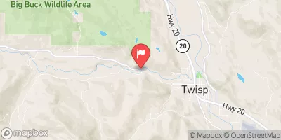 Twisp River Near Twisp
|
268cfs |
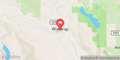 Chewuch River At Winthrop
|
193cfs |
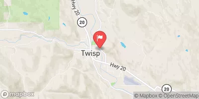 Methow River At Twisp
|
998cfs |
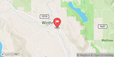 Methow River At Winthrop
|
684cfs |
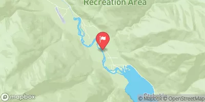 Stehekin River At Stehekin
|
664cfs |
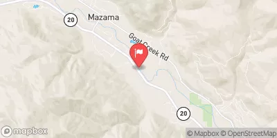 Methow River Above Goat Creek Near Mazama
|
275cfs |
Area Campgrounds
| Location | Reservations | Toilets |
|---|---|---|
 War Creek
|
||
 War Creek Campground
|
||
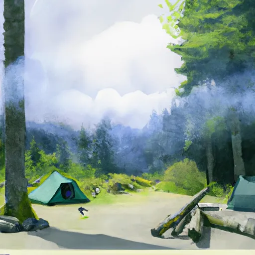 Mystery
|
||
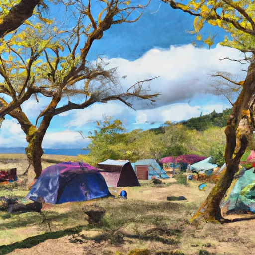 Mystery Campground
|
||
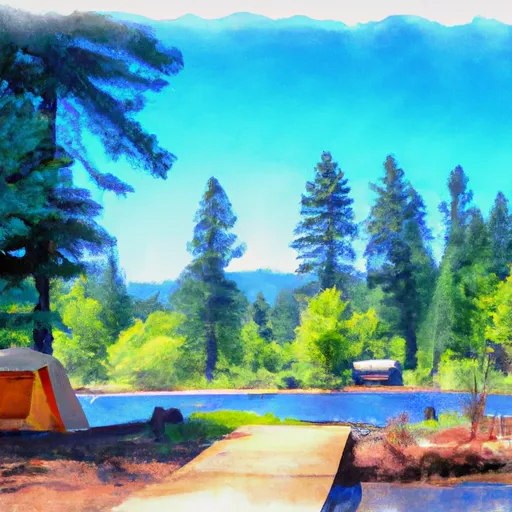 Black Pine Lake Campground
|
||
 Blackpine Lake
|
River Runs
-
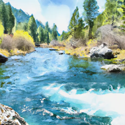 Lake Chelan-Sawtooth Wilderness Boundary To Private Land Boundary Near Lime Creek In Se1/4 Of Sec 18, T33N, R20E
-
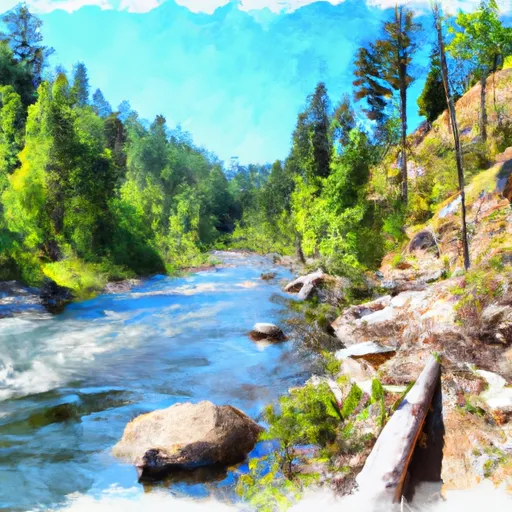 Private Land Boundary To Okanogan Nf Boundary
-
 Confluence Of South Fork Wolf Creek To Lake Chelan-Sawtooth Wilderness Boundary
-
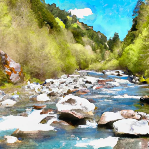 Headwaters And Includes All Tributaries To Confluence With Boulder Creek
-
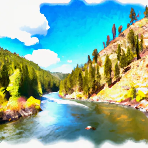 Lake Chelan-Sawtooth Wilderness Boundary To Okanogan Nf Boundary

