Summary
The ideal streamflow range for this river is between 500 and 1500 cfs, with the best times to run being in the spring and early summer. The river is classified as a Class III-IV, with some technical sections that require experienced boaters.
The segment mileage of the Whitewater River run from the Alpine Lakes Wilderness Boundary to the confluence with the East Fork Miller River is approximately 7 miles. This section of the river features several challenging rapids, including Devil's Toilet Bowl, Meatgrinder, and Triple Drop.
Boaters should be aware of specific regulations in the area, such as the prohibition of motorized watercraft and the requirement for a valid Washington State fishing license. Additionally, the use of fire is prohibited along the river banks. It is also important for boaters to practice responsible river etiquette, such as leaving no trace and respecting other users of the river.
River Run Details
| Last Updated | 2026-01-23 |
| River Levels | 28 cfs (1.23 ft) |
| Percent of Normal | 363% |
| Status | |
| Class Level | iii-iv |
| Elevation | ft |
| Streamflow Discharge | cfs |
| Gauge Height | ft |
| Reporting Streamgage | USGS 12147600 |
Hourly Weather Forecast
Nearby Streamflow Levels
Area Campgrounds
| Location | Reservations | Toilets |
|---|---|---|
 Miller River Group Campground
|
||
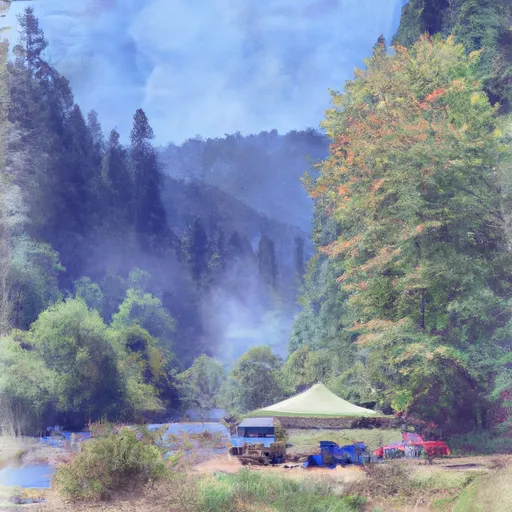 Miller River Campground
|
||
 Skykomish Ballpark
|
||
 Money Creek Campground
|
||
 Money Creek
|
||
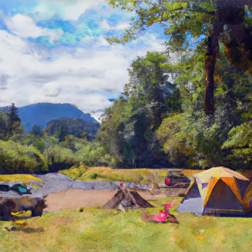 Beckler River Campground
|
River Runs
-
 Alpine Lakes Wilderness Boundary To Confluence With West Fork Miller River
-
 Alpine Lakes Wilderness Boundary To Confluence With East Fork Miller River
-
 Confluence Of East And West Forks Of Miller River To Confluence With South Fork Skykomish River
-
 Headwaters In Se1/4 Of Sec 31, T24 1/2N, R11E To Alpine Lakes Wilderness Boundary
-
 Confluence Of East And West Forks Of Foss River To Confluence With Tye River
-
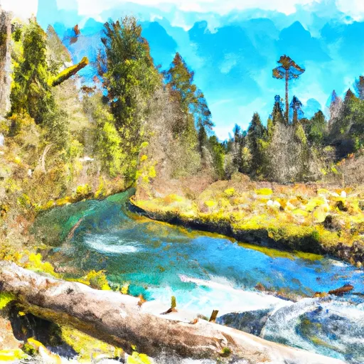 Headwaters In Se 1/4 Of Sec 14, T26N, R13E To Confluence With Foss River


