Summary
The ideal streamflow range for this run is between 800 and 1,500 cubic feet per second (cfs), with the best time to go being in the spring during the runoff season. The Class III-V rapids make this run suitable for experienced paddlers, and the segment mileage is approximately 7 miles long.
The river rapids and obstacles on this run include several challenging drops, including the "Outer Limits" rapid, which is a steep, narrow chute that drops off a ledge into a large hole. Other notable rapids include "Double Z", "Sweets Falls", and "Jump Rock". The river also features several large boulders and narrow channels, which require skillful maneuvering to navigate safely.
Specific regulations for the area include a minimum age requirement of 18 years old to participate in commercial rafting trips, and all participants must wear personal flotation devices and helmets. Additionally, there are restrictions on the use of motorized watercraft on this section of the river, and camping is only permitted in designated areas.
Overall, the High Ridge Run to Outskirts of Hopeville is a thrilling and challenging whitewater river run that offers experienced paddlers an unforgettable adventure. It is important to consult with local outfitters and check the current streamflow conditions before embarking on this trip, as water levels can vary greatly depending on the season and weather conditions.
°F
°F
mph
Wind
%
Humidity
15-Day Weather Outlook
River Run Details
| Last Updated | 2026-02-05 |
| River Levels | 38 cfs (4.16 ft) |
| Percent of Normal | 13% |
| Status | |
| Class Level | iii-v |
| Elevation | ft |
| Streamflow Discharge | cfs |
| Gauge Height | ft |
| Reporting Streamgage | USGS 01606000 |
5-Day Hourly Forecast Detail
Nearby Streamflow Levels
 N F South Br Potomac R At Cabins
|
821cfs |
 So. Branch Potomac River Nr Petersburg
|
1210cfs |
 Blackwater R Nr Davis
|
132cfs |
 Blackwater R At Davis
|
489cfs |
 So Fk South Branch Potomac R Nr Moorefield
|
443cfs |
 Dry Fork At Hendricks
|
1300cfs |
Area Campgrounds
| Location | Reservations | Toilets |
|---|---|---|
 Red Creek Campground
|
||
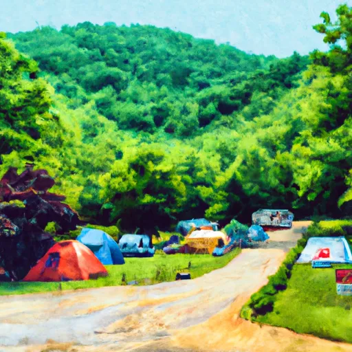 Jess Judy Group Campground
|
||
 Princess Snowbird Campground
|
||
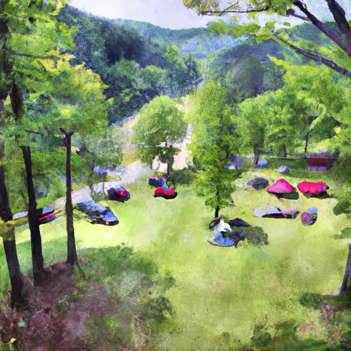 Seneca Shadows Campground
|
||
 Brian's place
|
River Runs
-
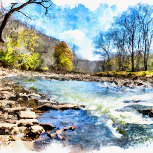 High Ridge Run To Outskirts Of Hopeville
-
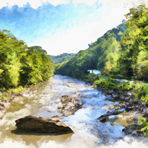 Shreve Store To Big Bend Campground
-
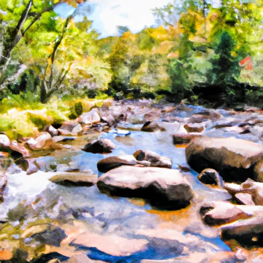 Perennial Stream At Forks To Dolly Sods Wilderness Boundary
-
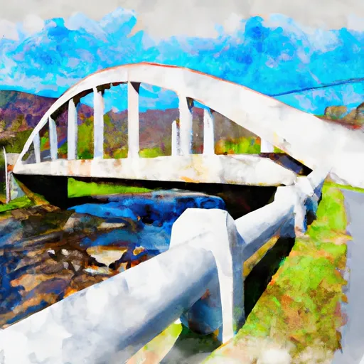 Jake Hill Road Bridge To Shreve Store
-
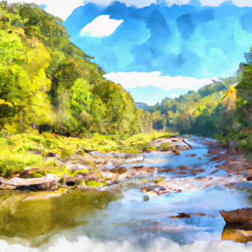 Big Bend Campground To Canyon Exit (Just Prior To Confluence With North Branch)
-
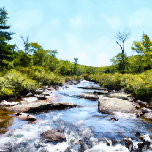 Enter Dolly Sods Wilderness To Exit Dolly Sods Wilderness


 Wilderness Dolly Sods
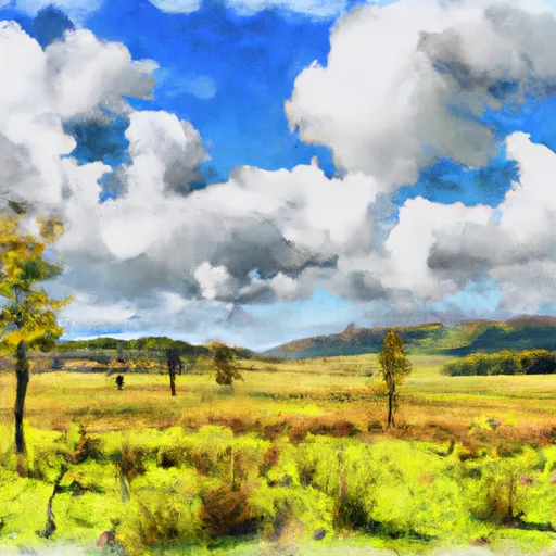 Canaan Valley National Wildlife Refuge
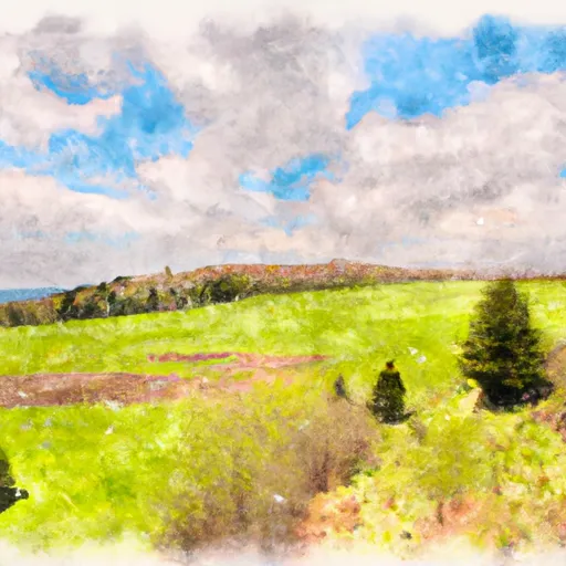 Canaan Valley State Park
 Wilderness Roaring Plains West