Summary
The ideal streamflow range for this river is between 400 and 3000 cfs. The segment mileage of this run is approximately 16 miles. The class rating of this river is between II and III, making it suitable for intermediate-level paddlers.
There are several rapids and obstacles on this run that provide a thrilling experience for paddlers. Some of the notable rapids include "T Bone," "Lost Paddle," and "Rocky Road." Paddlers must navigate through tight channels, rocky ledges, and turbulent waters while avoiding obstacles such as strainers and undercut rocks.
There are specific regulations in place for the Whitewater River Run to ensure safety and protect the natural environment. All paddlers must wear personal flotation devices (PFDs) and helmets. Additionally, camping and fires are prohibited within the designated river corridor. Paddlers should also be aware of private property boundaries and respect the rights of landowners.
In conclusion, the Whitewater River Run offers an exciting whitewater experience in West Virginia. With its ideal streamflow range, class rating, and specific rapids and obstacles, this run is suitable for intermediate paddlers. However, it is important to adhere to the specific regulations in place to ensure safety and protect the natural environment.
°F
°F
mph
Wind
%
Humidity
15-Day Weather Outlook
River Run Details
| Last Updated | 2026-02-07 |
| River Levels | 3 cfs (3.42 ft) |
| Percent of Normal | 14% |
| Status | |
| Class Level | None |
| Elevation | ft |
| Run Length | 2.0 Mi |
| Streamflow Discharge | cfs |
| Gauge Height | ft |
| Reporting Streamgage | USGS 01610400 |
5-Day Hourly Forecast Detail
Nearby Streamflow Levels
Area Campgrounds
| Location | Reservations | Toilets |
|---|---|---|
 Trout Pond Campground
|
||
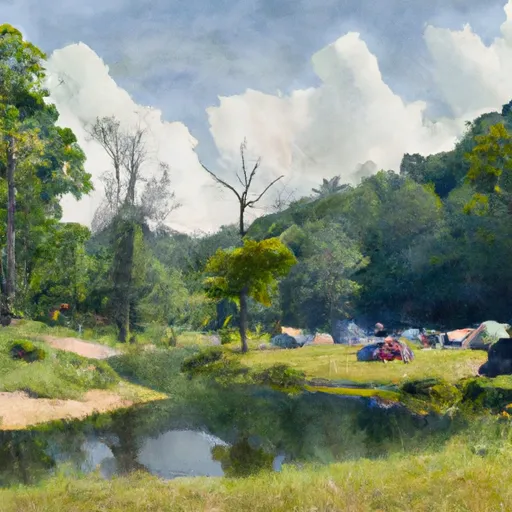 Trout Pond
|
||
 Trout Pond Recreation Area
|
||
 Hawk Campground
|
||
 Hawk
Hawk
|
||
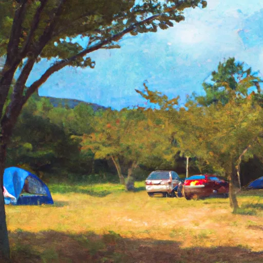 Hawk Recreation Area
|


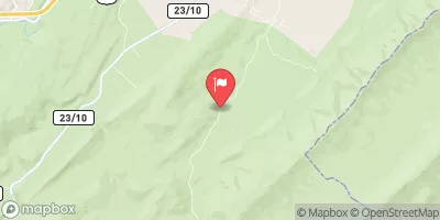
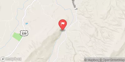

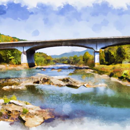 The West Virginia 259 Bridge South Of Wardensville To Ends Where The Lost River Becomes The Cacapon River
 Begins Where The Lost River Becomes The Cacapon River To Wardensville
 Wardensville To The Town Of Capon Bridge