2026-02-17T17:00:00-07:00
* WHAT...Snow expected. Total snow accumulations between 6 and 12 inches. Winds gusting as high as 55 mph. * WHERE...Wind River Mountains West, Teton and Gros Ventre Mountains, and Salt River and Wyoming Ranges. * WHEN...Until 5 PM MST this afternoon. * IMPACTS...Travel could be difficult due to a combination of falling snow and gusty winds. The hazardous conditions could impact the Tuesday morning and evening commutes, especially for mountain passes like Teton, Togwotee, and South Passes. * ADDITIONAL DETAILS...Snow accumulations 4 to 8 inches for Teton and Togwotee Passes and 2 to 5 inches for South Pass. The highest elevations of the Wind River Range could see snow accumulations near 18 inches.
Summary
The ideal streamflow range for this river is between 300 and 800 cubic feet per second (cfs). The class rating for the East Fork River varies depending on the segment being run, ranging from Class II to Class IV.
The river has a total segment mileage of approximately 27 miles, with the most popular section being a 10-mile stretch from Sibley Lake to the Wyoming/Montana border. This section of the river features exciting rapids such as Deadman's Drop, Boateater, and Fang.
There are specific regulations in place for the East Fork River, including a permit system for commercial outfitters and a limit on the number of rafts allowed on the river per day. In addition, all river users are required to comply with Leave No Trace principles, which includes packing out all trash and minimizing impact on the environment.
°F
°F
mph
Wind
%
Humidity
15-Day Weather Outlook
River Run Details
| Last Updated | 2025-06-28 |
| River Levels | 1060 cfs (5.87 ft) |
| Percent of Normal | 39% |
| Status | |
| Class Level | ii-iv |
| Elevation | ft |
| Streamflow Discharge | cfs |
| Gauge Height | ft |
| Reporting Streamgage | USGS 06228350 |
5-Day Hourly Forecast Detail
Nearby Streamflow Levels
Area Campgrounds
| Location | Reservations | Toilets |
|---|---|---|
 Big Sandy Campground
|
||
 Big Sandy
|
||
 Dutch Joe Camping Area
|
||
 Squaw Creek Campground
|
||
 Squaw Creek Campsite 1
|
||
 Squaw Creek Campsite 2
|


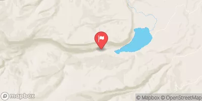
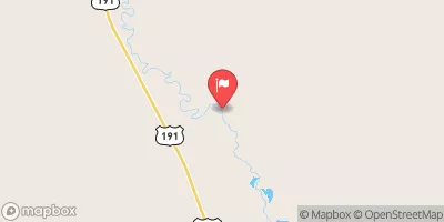
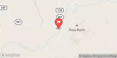
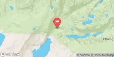
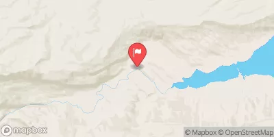
 East Fork River
 Irish Canyon Creek
 North Fork Silver Creek