2026-02-17T17:00:00-07:00
* WHAT...Snow expected. Total snow accumulations between 6 and 12 inches. Winds gusting as high as 55 mph. * WHERE...Wind River Mountains West, Teton and Gros Ventre Mountains, and Salt River and Wyoming Ranges. * WHEN...Until 5 PM MST this afternoon. * IMPACTS...Travel could be difficult due to a combination of falling snow and gusty winds. The hazardous conditions could impact the Tuesday morning and evening commutes, especially for mountain passes like Teton, Togwotee, and South Passes. * ADDITIONAL DETAILS...Snow accumulations 4 to 8 inches for Teton and Togwotee Passes and 2 to 5 inches for South Pass. The highest elevations of the Wind River Range could see snow accumulations near 18 inches.
Summary
The ideal streamflow range for rafting on this river is between 400 and 900 cfs. The river is rated as a Class III-V, meaning it has difficult rapids and obstacles that require technical paddling skills. The segment mileage of the North Fork of Silver Creek is approximately 10 miles long.
Some of the specific river rapids and obstacles on the North Fork of Silver Creek include "Graveyard," "S-Turn," "Staircase," and "Rapid 12." These rapids are known to be challenging, with steep drops and powerful hydraulics that require precise maneuvering.
There are specific regulations to the area that must be followed when rafting on the North Fork of Silver Creek. These regulations include obtaining a permit from the US Forest Service, following Leave No Trace principles, and wearing appropriate safety gear such as helmets and life jackets. Additionally, there are restrictions on the number of people allowed on the river at one time and the types of boats that can be used.
°F
°F
mph
Wind
%
Humidity
15-Day Weather Outlook
River Run Details
| Last Updated | 2025-06-28 |
| River Levels | 3610 cfs (5.22 ft) |
| Percent of Normal | 41% |
| Status | |
| Class Level | iii-v |
| Elevation | ft |
| Streamflow Discharge | cfs |
| Gauge Height | ft |
| Reporting Streamgage | USGS 09205000 |


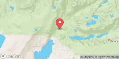
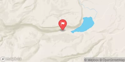
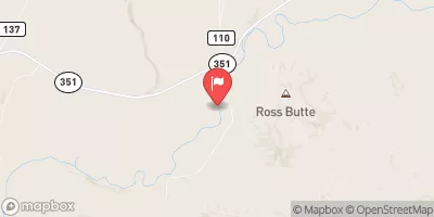
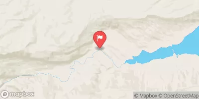
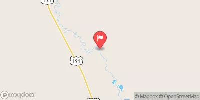
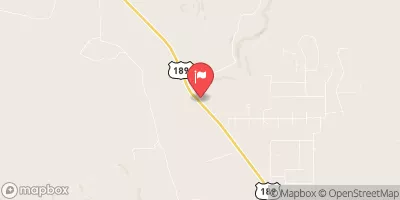
 Scab Creek
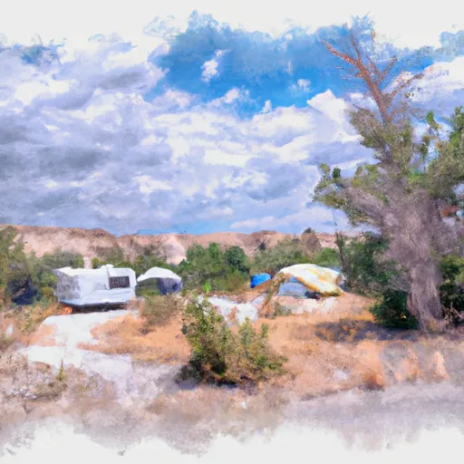 Scab Creek Small Vehicle Campsite 14
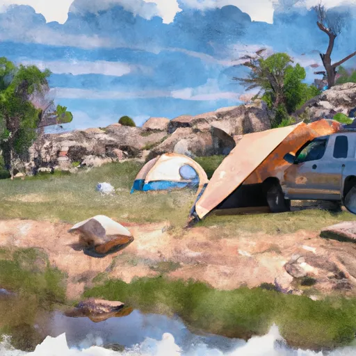 Scab Creek Small Vehicle Campsite 13
 Scab Creek Small Vehicle Campsite 15
 Scab Creek Small Vehicle Campground
 Scab Creek Small Vehicle Campsite 12
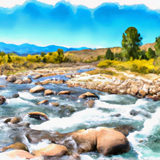 North Fork Silver Creek
 Jenna Creek