Summary
The ideal streamflow range for this river run is between 100-500 cfs, which can typically be found in the spring and early summer months.
The segment mileage for Huff Creek is approximately 6.5 miles, starting at the put-in location near the intersection of Forest Road 126 and the Greybull River and ending at the take-out location off of Forest Road 123.
There are several specific rapids and obstacles along Huff Creek, including Big Pine Rapid, which is a Class III rapid with a large boulder in the middle of the river, and S-Turn Rapid, which is a Class II rapid with a sharp turn to the left.
It is important to note that the use of motorized watercraft is prohibited on Huff Creek, and all river users are required to carry a personal flotation device. Additionally, camping is only allowed in designated campsites and fires are only permitted in established fire rings.
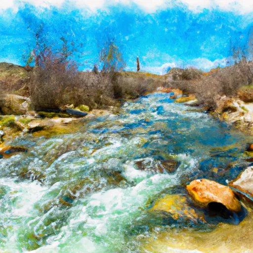
Overall, Huff Creek offers a thrilling whitewater experience for intermediate paddlers with its Class II-III rapids and scenic surroundings. It is important for all river users to follow the regulations set in place to ensure the safety and preservation of this natural area.
°F
°F
mph
Wind
%
Humidity
15-Day Weather Outlook
River Run Details
| Last Updated | 2025-06-28 |
| River Levels | 780 cfs (2.76 ft) |
| Percent of Normal | 62% |
| Status | |
| Class Level | ii-iii |
| Elevation | ft |
| Streamflow Discharge | cfs |
| Gauge Height | ft |
| Reporting Streamgage | USGS 10032000 |
5-Day Hourly Forecast Detail
Nearby Streamflow Levels
 Smiths Fork Near Border
|
85cfs |
 Bear River At Border
|
160cfs |
 Bear River Below Smiths Fork
|
271cfs |
 Bear River At Pescadero
|
73cfs |
 Hams Fork Below Pole Creek
|
6cfs |
 Crow C Nr Fairview Wyo
|
34cfs |
Area Campgrounds
| Location | Reservations | Toilets |
|---|---|---|
 Kelley Guard Station
|
||
 Allred Flat Campground
|
||
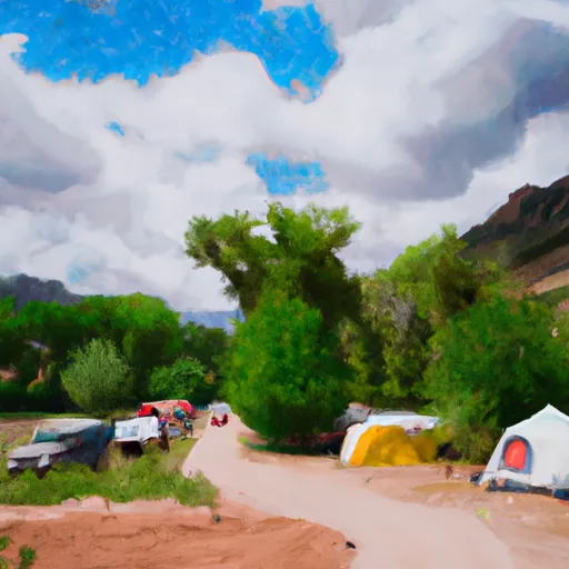 Hobble Creek Campground
|
||
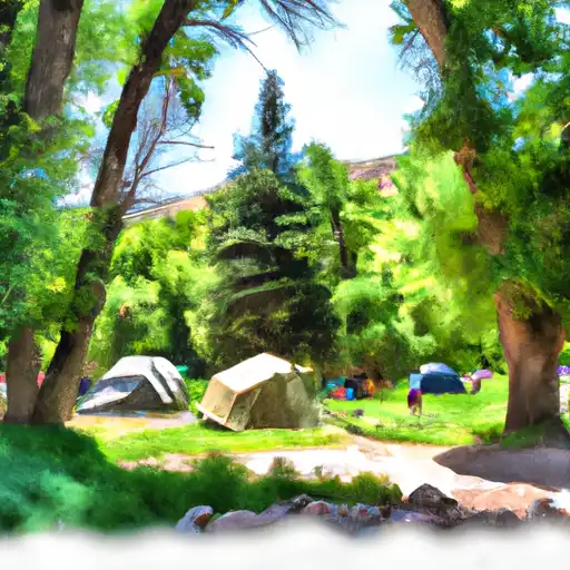 Hobble Creek
|
||
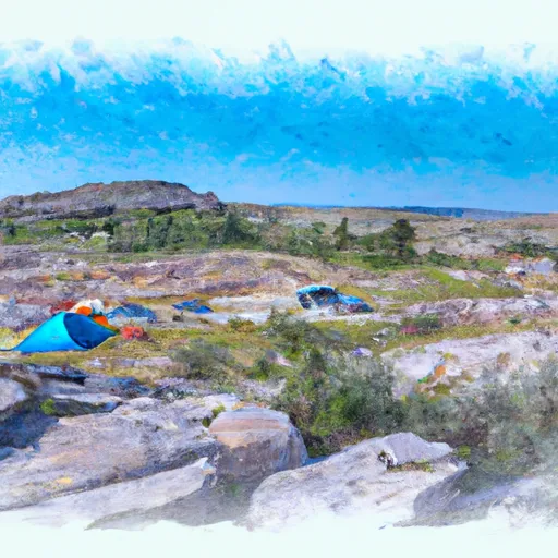 Allred Flat
|


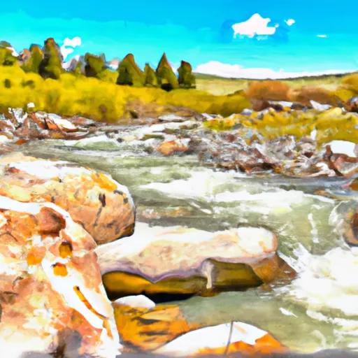 Huff Creek
 Raymond Creek