2026-02-17T19:00:00-07:00
* WHAT...Southwest winds 30 to 40 mph with gusts up to 70 mph. * WHERE...Green Mountains and Rattlesnake Range, Natrona County Lower Elevations, and East Sweetwater County. * WHEN...Until 7 PM MST Tuesday. * IMPACTS...Travel could be difficult, especially for high profile vehicles. Strong wind combined with low humidity could bring elevated fire behavior.
Summary
The ideal streamflow range for this river run is between 1,000 - 4,000 cfs, with the highest flows occurring in May and early June.
The class rating for Granite Creek varies depending on the segment being run. The upper segment is rated as a Class III-IV, while the lower segment is rated as a Class II-III. The upper segment spans 10 miles, starting at Granite Creek Campground and ending at the Wilson Bridge. The lower segment spans 7 miles and starts at the Wilson Bridge, which is where the upper segment ends, and ends at the Snake River.
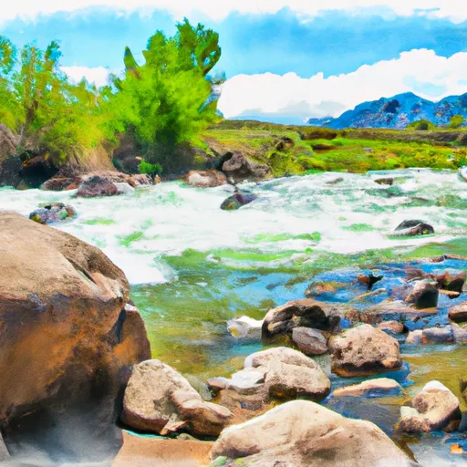
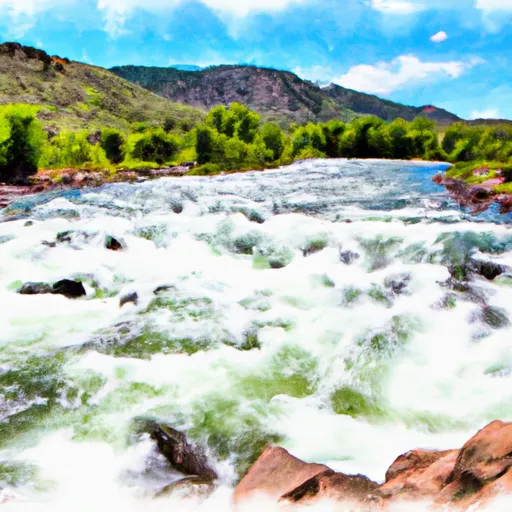
The rapids on Granite Creek are numerous and can be challenging, especially during high water. Some of the notable rapids include Blind Canyon, Toilet Bowl, Big Kahuna, and the infamous Champagne section. The Champagne section is a long, continuous rapid that features large boulders and holes that require precise navigation.
To ensure the safety of visitors, the Bridger-Teton National Forest has implemented specific regulations for the Granite Creek area. All visitors are required to have a permit, which can be obtained at the Granite Creek Campground or through the National Forest Service. Additionally, visitors are required to follow Leave No Trace principles and must pack out all of their trash.
Overall, Granite Creek offers a thrilling whitewater experience for both novice and experienced paddlers. Its ideal streamflow range, class rating, and specific rapids make it a popular destination for those seeking adventure in Wyoming's beautiful wilderness.
°F
°F
mph
Wind
%
Humidity
15-Day Weather Outlook
River Run Details
| Last Updated | 2025-06-28 |
| River Levels | 610 cfs (4.56 ft) |
| Percent of Normal | 46% |
| Status | |
| Class Level | iii-iv |
| Elevation | ft |
| Streamflow Discharge | cfs |
| Gauge Height | ft |
| Reporting Streamgage | USGS 06638090 |


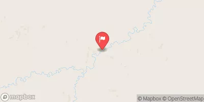
 Granite Creek
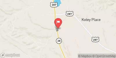
 Sweetwater River
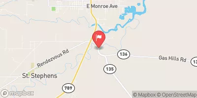
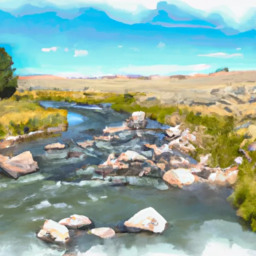 Mormon Creek
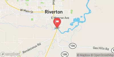
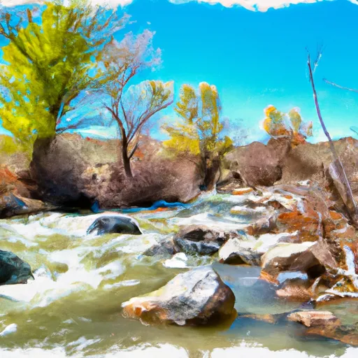 Strawberry Creek