Superstition Wilderness Water Sources, Plo 5368
Community Reviews
Been here? Share the conditions.
Reviews, ratings & photos are added in the free Snoflo iOS app — rate a spot, tag the conditions, and your visit is verified by location. Add or manage your reviews from the app.

Superstition Wilderness Water Sources, Plo 5368
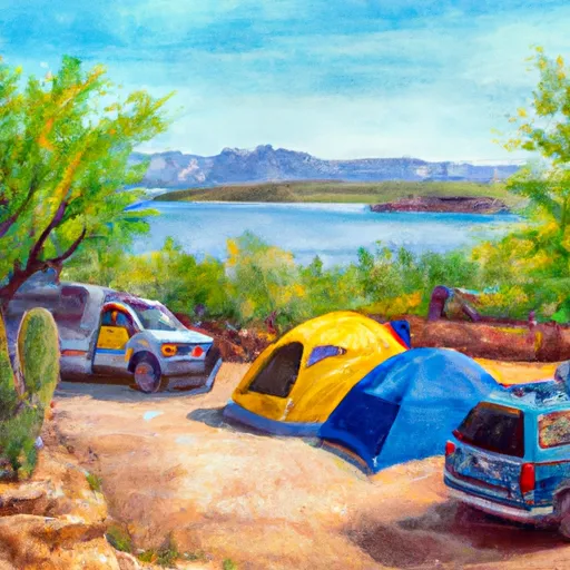
Superstition Wilderness is home to several water sources that offer respite and beauty to hikers and nature enthusiasts. One of the main water sources is the Plo 5368, which is a reliable water supply located within the wilderness area. The Plo 5368 water source plays a crucial role in supporting the diverse flora and fauna found in the region, providing hydration for wildlife and serving as a valuable resupply point for backpackers.
There are numerous compelling reasons to visit Superstition Wilderness. First and foremost, the area offers stunning natural beauty, with rugged mountain ranges, deep canyons, and picturesque desert scenery. Hiking trails crisscross the region, providing opportunities for outdoor adventure and exploration. Superstition Wilderness is renowned for its abundant wildlife, including desert bighorn sheep, mule deer, javelina, and a variety of bird species.
Within Superstition Wilderness, there are several notable points of interest to see. The Lost Dutchman State Park is a popular spot for visitors, offering hiking trails that lead to breathtaking viewpoints and opportunities to learn about the legendary Lost Dutchman's Gold Mine. Another intriguing location is Weaver's Needle, a striking volcanic rock formation that stands tall amidst the wilderness, attracting climbers and photographers alike.
Interesting facts about Superstition Wilderness add to its allure. The area is steeped in legends and folklore, with tales of hidden gold mines and mysterious disappearances. Many visitors come to explore and search for the Lost Dutchman's Gold Mine, which is believed to be hidden within the wilderness. Additionally, Superstition Wilderness is part of the Tonto National Forest, one of the largest national forests in the United States, encompassing over 2.9 million acres.
The best time of year to visit Superstition Wilderness is during the fall, winter, and spring months. Summers can be scorching, with temperatures exceeding 100°F (38°C), making outdoor activities challenging. Fall and spring offer pleasant temperatures, ranging from the 70s to 80s°F (20s to 30s°C), allowing visitors to comfortably explore the trails and enjoy the natural beauty. Winter months bring cooler temperatures, ranging from 50s to 70s°F (10s to 20s°C), ideal for hiking and camping.
In conclusion, Superstition Wilderness in Arizona offers a captivating experience for nature enthusiasts, adventurers, and history buffs. With its diverse water sources, remarkable landscapes, intriguing legends, and abundant wildlife, the area provides a unique and memorable exploration opportunity. Whether you're searching for hidden treasures, admiring iconic rock formations, or simply immersing yourself in the beauty of the desert, Superstition Wilderness is a must-visit destination.
Trails in Superstition Wilderness Water Sources, Plo 5368
Named trails whose route falls inside the park.
Camping in Superstition Wilderness Water Sources, Plo 5368
Campgrounds inside the park, with today's conditions score.
Points of interest in Superstition Wilderness Water Sources, Plo 5368
Landmarks and points of interest inside the park boundary.

Plan your visit down to the hour
Same weather feed Snoflo's iOS app uses -- updated continuously from NOAA / yr.no.
Next 5 days, hour by hour
Temperature line with weather symbols on top, snow + rain accumulation as columns, humidity as a dotted line.
5-day forecast table
Every 3 hours, broken out across temperature, snow, rain, humidity, and wind.
| Time | Condition | Temp (°F) | Snow (in) | Rain (in) | Humidity (%) | Wind (mps) | Wind dir |
|---|---|---|---|---|---|---|---|
| Loading detailed forecast… | |||||||
15-day temperature & precipitation
Daily temperatures, snow, and rain projected over the next two weeks.
Responsible recreation & Leave No Trace
- Know before you go
- Check the operator's site for hours, permit requirements, seasonal closures, and fire restrictions before heading out.
- Stay on trail
- Stick to marked paths to protect vegetation, prevent erosion, and avoid disturbing wildlife habitat.
- Respect wildlife
- Observe from a distance, never feed wildlife, and store food securely if camping is permitted on-site.
- Pack it in, pack it out
- Carry out all trash, food scraps, and gear. Many parks have limited or no trash service.
- Leave what you find
- Don't take rocks, plants, or artifacts. They make the park what it is for the next visitor.
Set push alerts in the Snoflo app
Save Superstition Wilderness Water Sources, Plo 5368 as a favorite, set a custom threshold (precipitation, freezing temperatures, fire-restriction days), and the iOS app will push the moment conditions cross.
About Superstition Wilderness Water Sources, Plo 5368
What can I do at Superstition Wilderness Water Sources, Plo 5368?
Most Snoflo-tracked parks support hiking, picnicking, and wildlife viewing. Check the operator's site for activity-specific rules (camping, fishing, paddling, hunting).
How fresh is the weather data?
The hourly forecast updates throughout the day from NOAA / yr.no. Streamflow comes live from USGS streamgauges.
When is the best time to visit?
Use the 15-day temperature & precipitation outlook on this page to plan -- pick a window with comfortable temperatures and low precipitation.
How do I get to Superstition Wilderness Water Sources, Plo 5368?
Tap Directions in the hero above to open driving directions in Google Maps, or Open in map to center the Snoflo interactive map on the park.
Can I get alerts when conditions change?
Yes -- alerts are managed in the Snoflo iOS app. Favorite this park, set a threshold (temperature, precipitation), and you'll get a push the moment it crosses.
Park & land designation reference
A quick legend for the federal and state land categories Snoflo tracks. Each designation comes with different rules around access, recreation, and resource extraction.
- National Park
- Large protected natural areas managed by the federal government to preserve significant landscapes, ecosystems, and cultural resources; recreation is allowed but conservation is the priority.
- State Park
- Public natural or recreational areas managed by a state government, typically smaller than national parks and focused on regional natural features, recreation, and education.
- Local Park
- Community-level parks managed by cities or counties, emphasizing recreation, playgrounds, sports, and green space close to populated areas.
- Wilderness Area
- The highest level of land protection in the U.S.; designated areas where nature is left essentially untouched, with no roads, structures, or motorized motorized access permitted.
- National Recreation Area
- Areas set aside primarily for outdoor recreation (boating, hiking, fishing, often around reservoirs, rivers, or scenic landscapes); may allow more development.
- National Conservation Area (BLM)
- BLM-managed areas with special ecological, cultural, or scientific value; more protection than typical BLM land but less strict than Wilderness Areas.
- State Forest
- State-managed forests focused on habitat, watershed, recreation, and sustainable timber harvest.
- Bureau of Land Management (BLM) Land
- Vast federal lands managed for mixed use -- recreation, grazing, mining, conservation -- with fewer restrictions than national parks or forests.