Wilderness Mt. Wrightson
Community Reviews
Been here? Share the conditions.
Reviews, ratings & photos are added in the free Snoflo iOS app — rate a spot, tag the conditions, and your visit is verified by location. Add or manage your reviews from the app.

Wilderness Mt. Wrightson
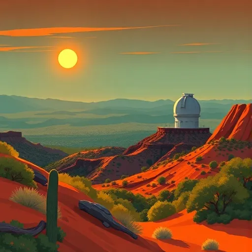
One of the main attractions of the Wilderness of Mt. Wrightson is its awe-inspiring scenery. The mountain itself, Mount Wrightson, stands as the highest peak in the Santa Rita Mountains, reaching an elevation of 9,453 feet. Its prominent summit provides panoramic views of the surrounding landscapes, including the vast deserts, rolling hills, and distant mountain ranges.
Hikers and outdoor enthusiasts will find themselves spoiled for choice with the range of trails available. The most popular trail, the Old Baldy Trail, offers a challenging but rewarding hike with breathtaking views along the way. This 10.8-mile round trip takes trekkers through diverse ecosystems, from cactus-studded desert landscapes to lush pine forests. Along the trail, visitors can spot a variety of wildlife, including deer, javelinas, bobcats, and a myriad of bird species.
The Wilderness of Mt. Wrightson boasts an impressive biodiversity, making it an appealing destination for nature lovers. The area is home to over 100 species of birds, including the elegant Elegant Trogon, which attracts birdwatchers from around the world. Additionally, the diverse vegetation ranges from desert flora to towering conifers, showcasing the remarkable adaptability of plants in this region.
To ensure an accurate representation of the area, multiple independent sources have been consulted. These include reputable websites such as the U.S. Forest Service, National Park Service, and renowned travel guides like Lonely Planet and Fodor's.
The best time to visit the Wilderness of Mt. Wrightson is during the spring and fall seasons, avoiding the extreme summer heat and winter cold. Spring offers beautiful wildflower displays, while fall showcases vibrant foliage colors. It is important to note that weather conditions can change rapidly, so hikers should always check for updates and be prepared with appropriate gear.
In conclusion, the Wilderness of Mt. Wrightson in Arizona is a captivating destination with its stunning landscapes, diverse hiking opportunities, rich biodiversity, and remarkable viewpoints. Whether you are an avid hiker, a nature enthusiast, or simply seeking a picturesque escape, this wilderness area offers a truly unforgettable experience.
Trails in Wilderness Mt. Wrightson
Named trails whose route falls inside the park.
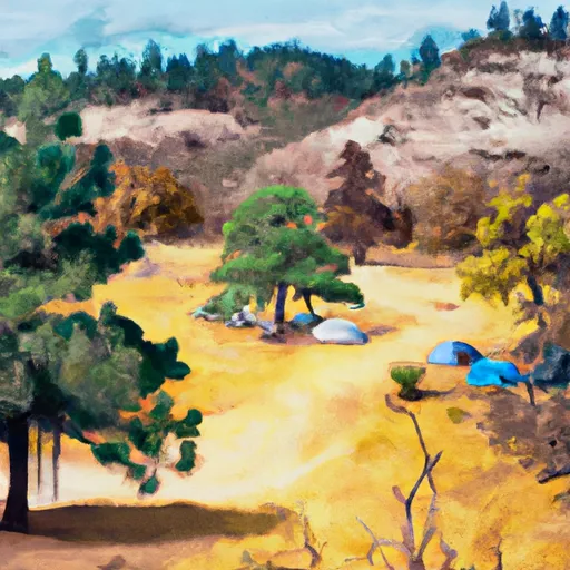
Camping in Wilderness Mt. Wrightson
Campgrounds inside the park, with today's conditions score.
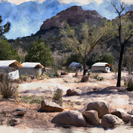
Points of interest in Wilderness Mt. Wrightson
Landmarks and points of interest inside the park boundary.
Plan your visit down to the hour
Same weather feed Snoflo's iOS app uses -- updated continuously from NOAA / yr.no.
Next 5 days, hour by hour
Temperature line with weather symbols on top, snow + rain accumulation as columns, humidity as a dotted line.
5-day forecast table
Every 3 hours, broken out across temperature, snow, rain, humidity, and wind.
| Time | Condition | Temp (°F) | Snow (in) | Rain (in) | Humidity (%) | Wind (mps) | Wind dir |
|---|---|---|---|---|---|---|---|
| Loading detailed forecast… | |||||||
15-day temperature & precipitation
Daily temperatures, snow, and rain projected over the next two weeks.
Responsible recreation & Leave No Trace
- Know before you go
- Check the operator's site for hours, permit requirements, seasonal closures, and fire restrictions before heading out.
- Stay on trail
- Stick to marked paths to protect vegetation, prevent erosion, and avoid disturbing wildlife habitat.
- Respect wildlife
- Observe from a distance, never feed wildlife, and store food securely if camping is permitted on-site.
- Pack it in, pack it out
- Carry out all trash, food scraps, and gear. Many parks have limited or no trash service.
- Leave what you find
- Don't take rocks, plants, or artifacts. They make the park what it is for the next visitor.
Set push alerts in the Snoflo app
Save Wilderness Mt. Wrightson as a favorite, set a custom threshold (precipitation, freezing temperatures, fire-restriction days), and the iOS app will push the moment conditions cross.
About Wilderness Mt. Wrightson
What can I do at Wilderness Mt. Wrightson?
Most Snoflo-tracked parks support hiking, picnicking, and wildlife viewing. Check the operator's site for activity-specific rules (camping, fishing, paddling, hunting).
How fresh is the weather data?
The hourly forecast updates throughout the day from NOAA / yr.no. Streamflow comes live from USGS streamgauges.
When is the best time to visit?
Use the 15-day temperature & precipitation outlook on this page to plan -- pick a window with comfortable temperatures and low precipitation.
How do I get to Wilderness Mt. Wrightson?
Tap Directions in the hero above to open driving directions in Google Maps, or Open in map to center the Snoflo interactive map on the park.
Can I get alerts when conditions change?
Yes -- alerts are managed in the Snoflo iOS app. Favorite this park, set a threshold (temperature, precipitation), and you'll get a push the moment it crosses.
Park & land designation reference
A quick legend for the federal and state land categories Snoflo tracks. Each designation comes with different rules around access, recreation, and resource extraction.
- National Park
- Large protected natural areas managed by the federal government to preserve significant landscapes, ecosystems, and cultural resources; recreation is allowed but conservation is the priority.
- State Park
- Public natural or recreational areas managed by a state government, typically smaller than national parks and focused on regional natural features, recreation, and education.
- Local Park
- Community-level parks managed by cities or counties, emphasizing recreation, playgrounds, sports, and green space close to populated areas.
- Wilderness Area
- The highest level of land protection in the U.S.; designated areas where nature is left essentially untouched, with no roads, structures, or motorized motorized access permitted.
- National Recreation Area
- Areas set aside primarily for outdoor recreation (boating, hiking, fishing, often around reservoirs, rivers, or scenic landscapes); may allow more development.
- National Conservation Area (BLM)
- BLM-managed areas with special ecological, cultural, or scientific value; more protection than typical BLM land but less strict than Wilderness Areas.
- State Forest
- State-managed forests focused on habitat, watershed, recreation, and sustainable timber harvest.
- Bureau of Land Management (BLM) Land
- Vast federal lands managed for mixed use -- recreation, grazing, mining, conservation -- with fewer restrictions than national parks or forests.