Summary
It is a must-see for anyone visiting the park, offering panoramic views of the surrounding landscape.
There are many reasons to visit the Almanor Overlook, including the stunning scenery and the opportunity to see unique geological features. The overlook provides a bird's eye view of the park's volcanic peaks, lava flows, and crystal-clear lakes. Visitors can also observe the impact of past volcanic activity on the surrounding landscape.
One unique feature of the Almanor Overlook is the opportunity to witness a variety of wildlife. The area is home to a diverse array of animals, including black bears, deer, and a variety of bird species.
Visitors can reach the Almanor Overlook by hiking the 1.5-mile trail from the nearby visitor center. The hike is moderate in difficulty and offers stunning views of the park along the way. Once at the overlook, visitors can take in the view from a comfortable viewing platform.
Overall, the Almanor Overlook is a must-see destination for anyone visiting Lassen Volcanic National Park. Its stunning vistas, unique geological features, and diverse wildlife make it one of the park's most popular attractions.

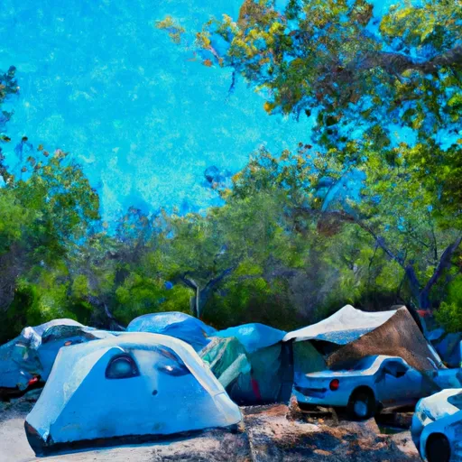 Southwest Campground
 Southwest Walk-in Campground
 Southwest - Lassen Volcanic National Park
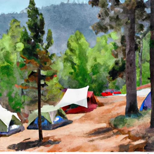 Summit Lake South Campground
 Summit Lake South
 Summit Lake North Campground