Summary
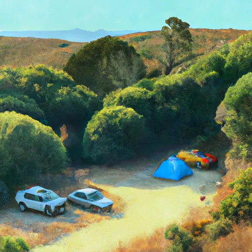
A free campfire permit is required for fires or stoves. There are no toilets, water, picnic tables, or hookups, and RV access is limited due to rough roads. Campers must be fully self-contained and practice Leave No Trace. The area offers a remote, rugged forested setting near the Feather River with scenic views and solitude. Popular nearby activities include fishing, hiking, and river access. Best visited in late spring through early fall when weather is mild and snow-free. Ideal for experienced campers seeking seclusion and natural beauty away from crowds.
°F
°F
mph
Wind
%
Humidity
15-Day Weather Outlook
Nearby Campgrounds
5-Day Hourly Forecast Detail
Nearby Streamflow Levels
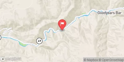 N Yuba R Bl Goodyears Bar Ca
|
533cfs |
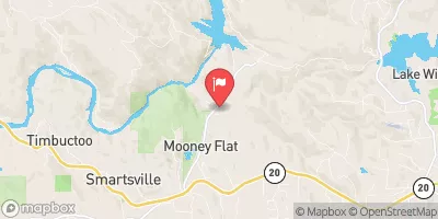 Deer C Nr Smartville Ca
|
299cfs |
 Yuba R Nr Marysville Ca
|
3510cfs |
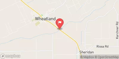 Bear R Nr Wheatland Ca
|
2630cfs |
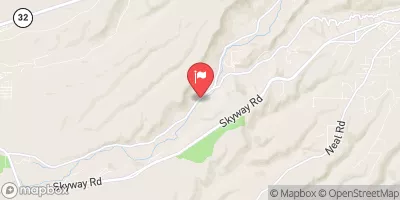 Butte C Nr Chico Ca
|
635cfs |
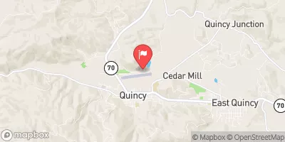 Spanish C A Quincy Ca
|
120cfs |
Camping Essential Practices
Take all trash, food scraps, and gear back with you to keep campsites clean and protect wildlife.
Respect Wildlife
Observe animals from a distance, store food securely, and never feed wildlife to maintain natural behavior and safety.
Know Before You Go
Check weather, fire restrictions, trail conditions, and permit requirements to ensure a safe and well-planned trip.
Minimize Campfire Impact
Use established fire rings, keep fires small, fully extinguish them, or opt for a camp stove when fires are restricted.
Leave What You Find
Preserve natural and cultural features by avoiding removal of plants, rocks, artifacts, or other elements of the environment.
Related Links
Nearby Snowpack Depths
|
GRASS VALLEY NO. 2
|
0" |
|
BLUE CANYON
|
21" |
|
BLUE CANYON ALERT
|
0" |
|
NOHRSC MEADOW LK SNOW COURSE
|
21" |
|
SODA SPRINGS 1.5 SSW
|
0" |
|
NOHRSC CSS LAB
|
1" |
River Runs
-
 One-Quarter Mile Upstream From Confluence With Slate Creek To Bullards Bar Reservoir Spillway (Elevation 1902 Feet)
-
 One-Eighth Mile Downstream From Confluence With Cherokee Creek To One-Quarter Mile Upstream From Confluence With Slate Creek
-
 Headwaters Of North Yuba River (Sec 10, T20N, R13 E) To One-Eighth Mile Downstream Of Confluence With Cherokee Creek
-
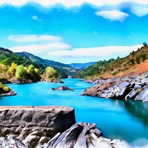 Slate Reservoir To North Yuba River
-
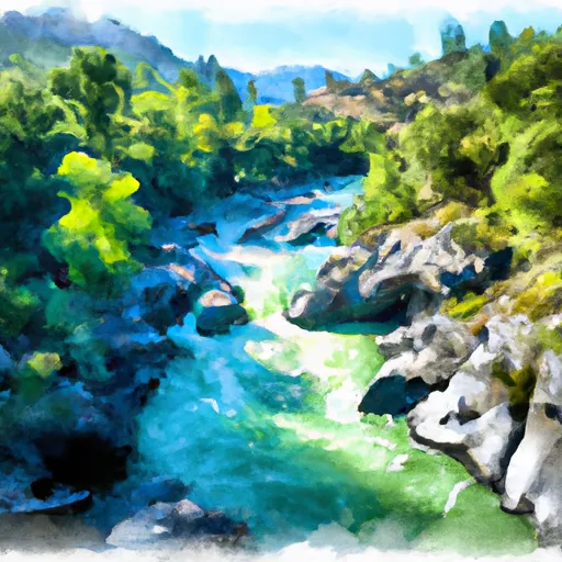 Confluence With South Fork Canyon Creek To Confluence With North Yuba River
-
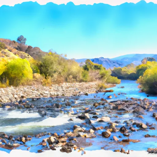 Confluence With Jefferson Creek To Confluence With Kentucky Creek

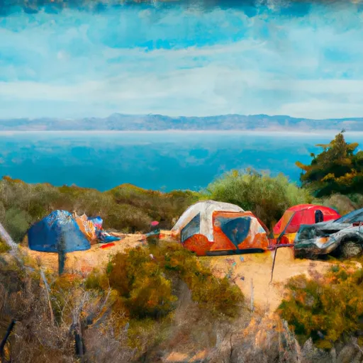 Frenchy Point
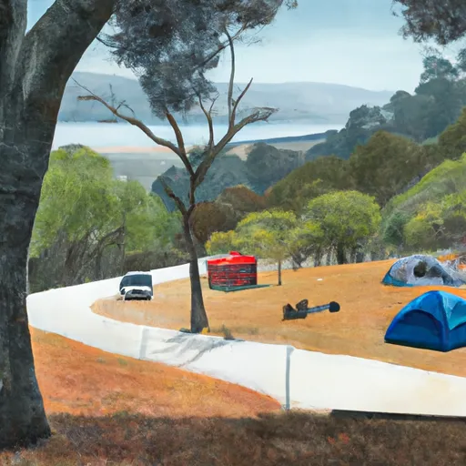 Frenchy Point Campground
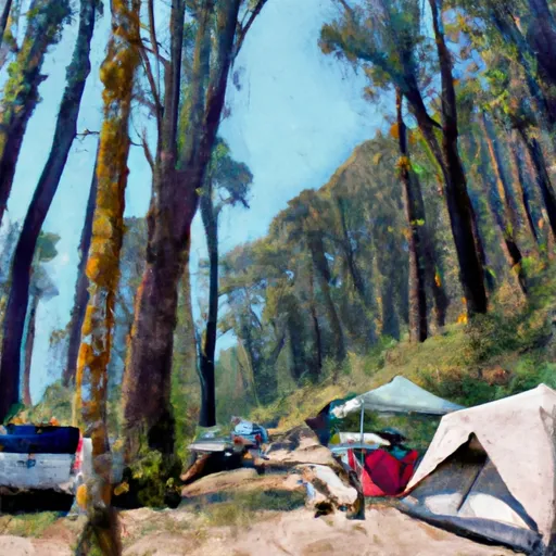 Madrone Cove Campground
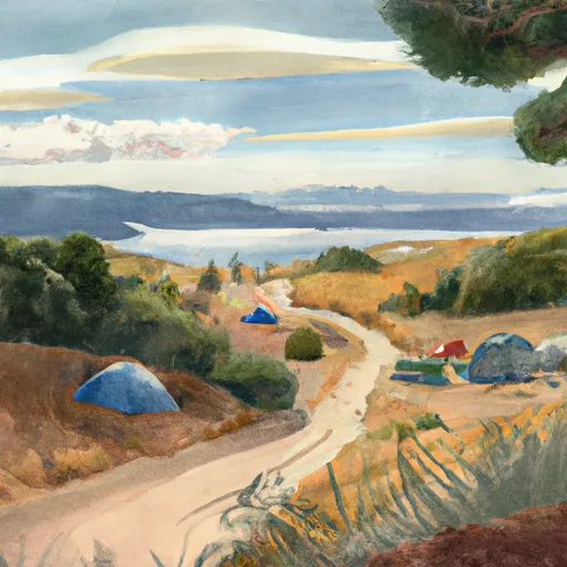 Bullards Lakeshore
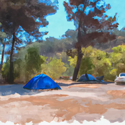 Garden Point Campground
 Garden Point