* WHAT...Small stream, roadway, and river flooding caused by excessive rainfall. * WHERE...A portion of northern California, including the Cow Creek drainage basin, Interstate 5, and Highway 99 in Shasta and Tehama counties. * WHEN...Until 200 PM PST. * IMPACTS...Minor flooding in low-lying and poor drainage areas. * ADDITIONAL DETAILS... - At 822 AM PST, Doppler radar and automated rain gauges indicated heavy rain this morning. Minor flooding is forecast to occur along Cow Creek, with roadway flooding elsewhere in the advisory area. - Some locations that will experience flooding include... Redding, Red Bluff, Palo Cedro, Shasta Lake, Anderson, Millville, Dairyville, Central Valley, Central Valley Cdp and Cottonwood. - http://www.weather.gov/safety/flood
Windspeed
Humidity
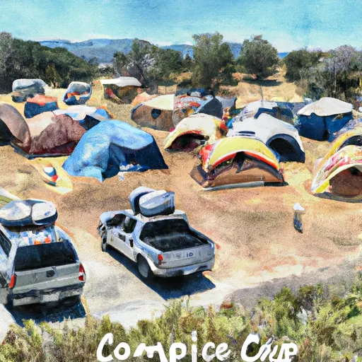
The Coleman is a popular recreation area located in the Sacramento-Lower Cow-Lower Clear watershed of California. It is a beautiful natural area that offers visitors a chance to explore some of the most stunning scenery in the region. There are many excellent reasons to visit the Coleman, including its incredible natural beauty, its diverse range of wildlife, and its numerous recreational opportunities. Whether you are looking to hike, fish, swim, or simply enjoy the scenery, the Coleman is the perfect place to do it.
One of the unique things that visitors can see at the Coleman is the stunning array of wildlife that calls the area home. From bald eagles and osprey to mountain lions and black bears, there are few places in California that offer such a diverse range of wildlife. Whether you are an avid birdwatcher or simply enjoy seeing animals in their natural habitat, the Coleman is the perfect place to do it. Additionally, the area is home to a number of fantastic hiking trails, including the popular Coleman Trail, which offers stunning views of the surrounding landscape. Whether you are an experienced hiker or simply looking for a leisurely stroll, the Coleman has something for everyone.
Discharge | Stage | Elevation | |
RUSH C NR LEWISTON CA
2024-12-24T00:00:00.000-08:00 |
105cfs | 2.06ft | 1816ft |
PIT R BL PIT NO 1 PH NR FALL RIVER MILLS CA
2024-12-24T00:00:00.000-08:00 |
1940cfs | 6.38ft | 2821ft |
HAT C NR HAT CREEK CA
2024-12-24T00:00:00.000-08:00 |
133cfs | 2.29ft | 4327ft |
BURNEY C A BURNEY FALLS NR BURNEY CA
2021-11-01T01:00:00.000-07:00 |
168cfs | 4.61ft | 2758ft |
SACRAMENTO R A DELTA CA
2024-12-24T01:30:00.000-08:00 |
4200cfs | 8.11ft | 1143ft |
TRINITY R A LEWISTON CA
2024-12-24T00:15:00.000-08:00 |
1300cfs | 15.11ft | 1827ft |
TRINITY R AB COFFEE C NR TRINITY CTR CA
2024-12-24T01:30:00.000-08:00 |
3300cfs | 7.94ft | 2567ft |
Camping Area | Reservations | Toilets | Showers |
---|---|---|---|
Limesaddle - Lake Oroville State Rec Area | |||
Plaskett Meadows | |||
Fouts | |||
Orland Buttes - Black Butte Lake | |||
Davis Flat | |||
Lower Nye |