* WHAT...Small stream, roadway, and river flooding caused by excessive rainfall. * WHERE...A portion of northern California, including the Cow Creek drainage basin, Interstate 5, and Highway 99 in Shasta and Tehama counties. * WHEN...Until 200 PM PST. * IMPACTS...Minor flooding in low-lying and poor drainage areas. * ADDITIONAL DETAILS... - At 822 AM PST, Doppler radar and automated rain gauges indicated heavy rain this morning. Minor flooding is forecast to occur along Cow Creek, with roadway flooding elsewhere in the advisory area. - Some locations that will experience flooding include... Redding, Red Bluff, Palo Cedro, Shasta Lake, Anderson, Millville, Dairyville, Central Valley, Central Valley Cdp and Cottonwood. - http://www.weather.gov/safety/flood
Windspeed
Humidity
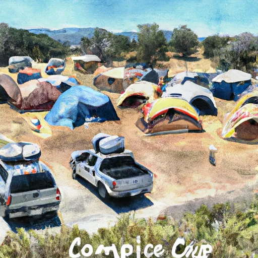
The Reading Island, located in the Sacramento-Lower Cow-Lower Clear watershed of California, is a popular destination for outdoor enthusiasts. The island is situated in the Sacramento River and is accessible only by boat. Visitors can enjoy various activities on the island, including fishing, boating, and picnicking. The island is home to a diverse range of flora and fauna, including birds, fish, and mammals. The island is also an excellent spot for birdwatching, with over 200 different bird species observed on the island. Additionally, the island is a popular spot for camping, with five campsites available for visitors.
One of the unique things visitors can see on the Reading Island is the historic Reading Adobe. The adobe was built in the mid-1800s and was once the home of early California pioneer Pierson Barton Reading. The adobe is now a California Historical Landmark and is open to visitors for tours. Other unique sights on the island include the scenic views of the Sacramento River and the surrounding landscape. The island is also an excellent spot for stargazing, with minimal light pollution and clear night skies. Overall, the Reading Island is a great destination for those seeking outdoor adventure, history, and natural beauty.
Discharge | Stage | Elevation | |
PIT R BL PIT NO 1 PH NR FALL RIVER MILLS CA
2024-12-24T00:00:00.000-08:00 |
1940cfs | 6.38ft | 2821ft |
BURNEY C A BURNEY FALLS NR BURNEY CA
2021-11-01T01:00:00.000-07:00 |
168cfs | 4.61ft | 2758ft |
GRASS VALLEY C NR LEWISTON CA
2019-09-30T03:30:00.000-07:00 |
18cfs | 3.75ft | 1782ft |
RUSH C NR LEWISTON CA
2024-12-24T00:00:00.000-08:00 |
105cfs | 2.06ft | 1816ft |
TRINITY R A LEWISTON CA
2024-12-24T00:15:00.000-08:00 |
1300cfs | 15.11ft | 1827ft |
TRINITY R AB COFFEE C NR TRINITY CTR CA
2024-12-24T01:30:00.000-08:00 |
3300cfs | 7.94ft | 2567ft |
SACRAMENTO R A DELTA CA
2024-12-24T01:30:00.000-08:00 |
4200cfs | 8.11ft | 1143ft |
Camping Area | Reservations | Toilets | Showers |
---|---|---|---|
Navy Camp - Lake Pillsbury | |||
Fouts | |||
Fuller Grove - Lake Pillsbury | |||
East Park Reservoir - USBR | |||
Davis Flat | |||
Oak Flat - Lake Pillsbury |