Summary
The road is located in El Dorado County and is surrounded by stunning natural beauty, making it an ideal location for hiking, camping, and wildlife viewing. The road is also home to several historic landmarks, including the historic Walker Mine, which was once a bustling gold mine in the 1800s.
Visitors to Walker Mine Rd can enjoy a variety of outdoor activities, including hiking, mountain biking, and camping. The road offers stunning views of the surrounding wilderness, including the Sacramento River and the nearby Sierra Nevada Mountains. Wildlife is abundant in the area, and visitors may see deer, elk, bear, and other animals while exploring the area. In addition, the historic Walker Mine offers a unique glimpse into California's gold rush history, and visitors can explore the mine's tunnels and learn about the area's mining past. Overall, Walker Mine Rd is a must-visit destination for nature lovers and history enthusiasts alike.
Hourly Weather Forecast
Area Campgrounds
| Location | Reservations | Toilets |
|---|---|---|
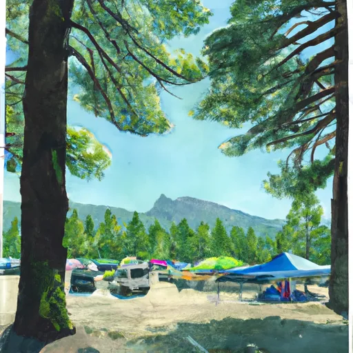 Shasta Campground
|
||
 Shasta
|
||
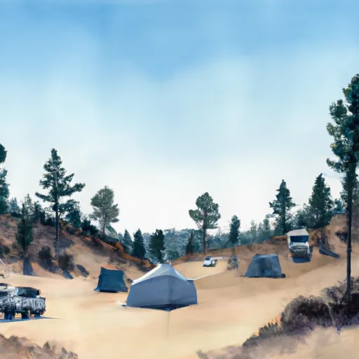 Shasta (OHV)
|
||
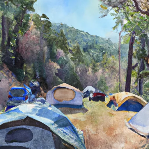 Ohl Olsen
|
||
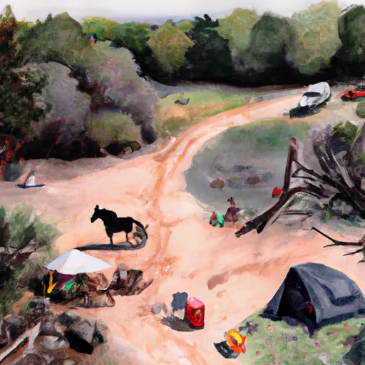 Horse Camp Primitive Campground
|
||
 Brandy Creek RV
|

 NorthRidge Gardens park
 Shasta State Historic Park
 T. R. Woods Memorial Park
 Riverfront Park
 Mary Lake Park