Wallace Creek / San Andreas Fault View Point Overview
Community Reviews
Been here? Share the conditions.
Reviews, ratings & photos are added in the free Snoflo iOS app — rate a spot, tag the conditions, and your visit is verified by location. Add or manage your reviews from the app.
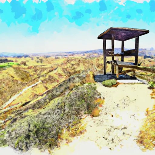
Wallace Creek / San Andreas Fault View Point
There are several reasons to visit the Wallace Creek San Andreas Fault Viewpoint. First and foremost, it provides a unique opportunity to witness one of the most significant geological formations in North America. The viewpoint is also located in the Carrizo Plain National Monument, which is known for its vibrant wildflowers, diverse wildlife, and stunning landscapes. Visitors can also enjoy hiking and exploring the nearby trails, including the San Andreas Trail, which provides an up-close look at the fault line. Overall, the Wallace Creek San Andreas Fault Viewpoint is an excellent destination for anyone interested in geology, natural history, and outdoor recreation.
Plan your visit down to the hour
Same weather feed Snoflo's iOS app uses -- updated continuously from NOAA / yr.no.
Next 5 days, hour by hour
Temperature line with weather symbols on top, snow + rain accumulation as columns, humidity as a dotted line.
5-day forecast table
Every 3 hours, broken out across temperature, snow, rain, humidity, and wind.
| Time | Condition | Temp (°F) | Snow (in) | Rain (in) | Humidity (%) | Wind (mps) | Wind dir |
|---|---|---|---|---|---|---|---|
| Loading detailed forecast… | |||||||
15-day temperature & precipitation
Daily temperatures, snow, and rain projected over the next two weeks.
Area streamflow levels
USGS streamgauges around Wallace Creek / San Andreas Fault View Point -- live water levels for paddling, fishing, and swimming conditions nearby.
| Streamgauge | Discharge | View |
|---|---|---|
| Cuyama R Bl Buckhorn Cyn Nr Santa Maria Ca | 0 cfs | → |
Plan a longer trip
The closest parks, campgrounds, fishing spots, and other landmarks so a quick visit can grow into a full day.
Fishing spots
Responsible visitation & Leave No Trace
- Know before you go
- Check the operator's site (BLM, NPS, state agency, or private owner) for access rules, permits, and seasonal closures before driving out.
- Stay on trail
- Many points of interest sit in fragile ecosystems. Stick to marked paths to protect vegetation and prevent erosion.
- Respect wildlife
- Observe from a distance, never feed wildlife, and give nesting birds and denning mammals plenty of space.
- Pack it in, pack it out
- Take all trash, food scraps, and gear back with you. Remote sites often have no trash service.
- Leave what you find
- Don't take rocks, plants, fossils, or artifacts. Federal law protects cultural and natural resources on public land.
Set push alerts in the Snoflo app
Save Wallace Creek / San Andreas Fault View Point as a favorite, set a weather threshold (precipitation, freezing temperatures), and the iOS app will push the moment conditions cross.
About Wallace Creek / San Andreas Fault View Point
What is Wallace Creek / San Andreas Fault View Point?
A point of interest in California tracked by Snoflo -- typically a scenic landmark, named summit, monument, or viewpoint.
How fresh is the weather data?
The hourly forecast updates throughout the day from NOAA / yr.no public feeds.
When is the best time to visit?
Use the 15-day temperature & precipitation outlook on this page to pick a window with comfortable temperatures and low precipitation.
How do I get there?
Tap Directions in the hero above for Google Maps driving directions, or Open in map to center the Snoflo interactive map on the spot.
Can I get alerts when conditions change?
Yes -- alerts are managed in the Snoflo iOS app. Favorite this POI, set a threshold (temperature, precipitation), and you'll get a push the moment it crosses.
Other points of interest near here
Snoflo-tracked landmarks within driving distance of Wallace Creek / San Andreas Fault View Point.