Larue-Pine Hills-Otter Pond Research Natural Area Overview
Community Reviews
Been here? Share the conditions.
Reviews, ratings & photos are added in the free Snoflo iOS app — rate a spot, tag the conditions, and your visit is verified by location. Add or manage your reviews from the app.
Larue-Pine Hills-Otter Pond Research Natural Area
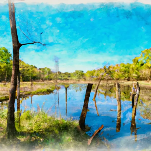
<p>LaRue-Pine Hills is one of the most unique areas in the world. As with many places in the Shawnee National Forest, the beauty we see today is rooted in geologic history. LaRue-Pine Hills it took millions of years to form its bedrock before nature’s erosive forces took over and created the 150-foot limestone bluffs that now rise out of the Mississippi floodplain.The area derives its name from the nearby tiny settlement of LaRue and the distinct short-leaf native pine stands on its blufftops. These massive bluffs extending roughly 5 miles along Highway 3 are as impressive today as they were to explorers Lewis and Clark in 1803.</p><p>LaRue-Pine Hills’ unique physical characteristics dictate and support a rich biodiversity not found anywhere else in the country. In all, the area covers about 4.5 square miles (3547 acres) and contains 14 natural communities including forests, wetland, prairie, glade and barren ecosystems and geologic features. Please help protect this special place for future generations to enjoy, study and appreciate. </p>
Plan your visit down to the hour
Same weather feed Snoflo's iOS app uses -- updated continuously from NOAA / yr.no.
Next 5 days, hour by hour
Temperature line with weather symbols on top, snow + rain accumulation as columns, humidity as a dotted line.
5-day forecast table
Every 3 hours, broken out across temperature, snow, rain, humidity, and wind.
| Time | Condition | Temp (°F) | Snow (in) | Rain (in) | Humidity (%) | Wind (mps) | Wind dir |
|---|---|---|---|---|---|---|---|
| Loading detailed forecast… | |||||||
15-day temperature & precipitation
Daily temperatures, snow, and rain projected over the next two weeks.
Plan a longer trip
The closest parks, campgrounds, fishing spots, and other landmarks so a quick visit can grow into a full day.
Parks
- Wilderness Clear Springs
- Wilderness Bald Knob
- Natural Area Vancill Hollow
- Nature Preserve Ozark Hills
- Trail Of Tears State Forest
- Trails Of Tears State Park
Responsible visitation & Leave No Trace
- Know before you go
- Check the operator's site (BLM, NPS, state agency, or private owner) for access rules, permits, and seasonal closures before driving out.
- Stay on trail
- Many points of interest sit in fragile ecosystems. Stick to marked paths to protect vegetation and prevent erosion.
- Respect wildlife
- Observe from a distance, never feed wildlife, and give nesting birds and denning mammals plenty of space.
- Pack it in, pack it out
- Take all trash, food scraps, and gear back with you. Remote sites often have no trash service.
- Leave what you find
- Don't take rocks, plants, fossils, or artifacts. Federal law protects cultural and natural resources on public land.
Set push alerts in the Snoflo app
Save Larue-Pine Hills-Otter Pond Research Natural Area as a favorite, set a weather threshold (precipitation, freezing temperatures), and the iOS app will push the moment conditions cross.
About Larue-Pine Hills-Otter Pond Research Natural Area
What is Larue-Pine Hills-Otter Pond Research Natural Area?
A point of interest in Mississippi tracked by Snoflo -- typically a scenic landmark, named summit, monument, or viewpoint.
How fresh is the weather data?
The hourly forecast updates throughout the day from NOAA / yr.no public feeds.
When is the best time to visit?
Use the 15-day temperature & precipitation outlook on this page to pick a window with comfortable temperatures and low precipitation.
How do I get there?
Tap Directions in the hero above for Google Maps driving directions, or Open in map to center the Snoflo interactive map on the spot.
Can I get alerts when conditions change?
Yes -- alerts are managed in the Snoflo iOS app. Favorite this POI, set a threshold (temperature, precipitation), and you'll get a push the moment it crosses.
Other points of interest near here
Snoflo-tracked landmarks within driving distance of Larue-Pine Hills-Otter Pond Research Natural Area.