

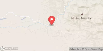
Aravaipa Creek Near Mammoth, Az. Realtime Data
ARAVAIPA CREEK NEAR MAMMOTH, AZ.
Realtime Data • Report • Conditions
16
Discharge (cfs)
0.5
Gauge Height (ft)
Streamflow discharge was last observed at 16 cfs, and a gauge height of 0.49 feet.
With the
% decrease since yesterday,
the streamflow average over the past 10 days is 10 .
Weather today, Tomorrow,
The stream gauge measures the flow of the creek, which is primarily provided by groundwater and snowmelt from the Pinal Mountains. The stream has several tributaries, including Hot Springs Canyon, Horse Camp Canyon, and Turkey Creek. There are no major dams on the stream. The flow is highest in the spring and early summer and lowest in the fall and winter. The hydrology of the area is unique due to the presence of numerous springs and seeps that contribute to the flow of the creek. Aravaipa Creek is popular for hiking, bird watching, and fishing for native species such as the Gila trout.
October 24, 2026
| Elevation | 2,350.0 ft |
| Last Updated | |
| Gage height, ft | 0.49 ft |
| Precipitation, total, in | 0.0 in |
| Streamflow, ft³/s | 15.6 ft3/s |
| Percent of Normal | 224% |
| Year Over Year Average | 7 cfs |
| 24hr Flow Prediction | cfs |
| Maximum Recorded | 1,440 cfs |
| Geolocation | 32.84, -110.62 |
 Continue with Snoflo Premium