

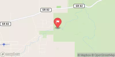
Babocomari River Near Tombstone, Az. Realtime Data
BABOCOMARI RIVER NEAR TOMBSTONE, AZ.
Realtime Data • Report • Conditions
0
Discharge (cfs)
0.3
Gauge Height (ft)
Streamflow discharge was last observed at 0 cfs, and a gauge height of 0.34 feet.
With the
% decrease since yesterday,
the streamflow average over the past 10 days is 0 .
Weather today, Tomorrow,
The river is primarily fed by groundwater and stormwater runoff, with no major tributaries or dams present. The flow fluctuates seasonally, with peak flows occurring during the monsoon season in July and August. Interestingly, the river is known for its unique hydrology, with water moving in and out of the underground aquifer system. This system is dependent on the amount of precipitation and recharge rates. Overall, the Babocomari River provides an important glimpse into the hydrology of the area and the delicate balance between surface water and groundwater systems.
October 23, 2026
| Elevation | 3,979.0 ft |
| Last Updated | |
| Gage height, ft | 0.34 ft |
| Streamflow, ft³/s | 0.14 ft3/s |
| Percent of Normal | 42% |
| Year Over Year Average | 0 cfs |
| 24hr Flow Prediction | cfs |
| Maximum Recorded | 1,090 cfs |
 Continue with Snoflo Premium