

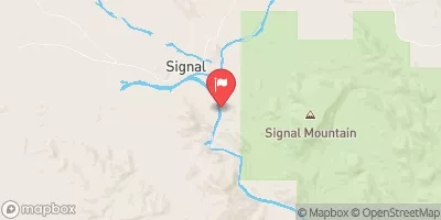
Big Sandy River Near Wikieup, Az Realtime Data
BIG SANDY RIVER NEAR WIKIEUP, AZ
Realtime Data • Report • Conditions
0
Discharge (cfs)
6.8
Gauge Height (ft)
USGS 09424450
Streamflow discharge was last observed at 0 cfs, and a gauge height of 6.81 feet.
With the
% decrease since yesterday,
the streamflow average over the past 10 days is 1,167 .
Weather today, Tomorrow,
The river is primarily fed by precipitation and runoff from the surrounding mountains. There are no major tributaries or dams in the immediate vicinity. The flow of the river tends to be highly variable and seasonal, with the highest levels occurring during the monsoon season in the summer. Interestingly, the Big Sandy River was designated as a Wild and Scenic River in 1984, which means it is protected from development and other forms of environmental degradation.
October 22, 2026
| Elevation | 1,400.0 ft |
| Last Updated | |
| Gage height, ft | 6.81 ft |
| Precipitation, total, in | 0.0 in |
| Streamflow, ft³/s | 0.14 ft3/s |
| Percent of Normal | 6% |
| Year Over Year Average | 3 cfs |
| 24hr Flow Prediction | cfs |
| Maximum Recorded | 33,300 cfs |
| Geolocation | 34.46, -113.62 |
 Continue with Snoflo Premium