

Bill Williams River Below Alamo Dam, Az Realtime Data
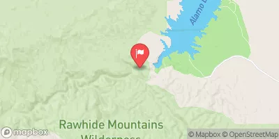
BILL WILLIAMS RIVER BELOW ALAMO DAM, AZ
Realtime Data • Report • Conditions
12
Discharge (cfs)
11.9
Gauge Height (ft)
USGS 09426000
Streamflow discharge was last observed at 12 cfs, and a gauge height of 11.89 feet.
With the
% decrease since yesterday,
the streamflow average over the past 10 days is 12 .
Weather today, Tomorrow,
The river is fed by multiple tributaries, including the Santa Maria River and the Big Sandy River. The Alamo Dam helps regulate the flow of water and prevent flooding. During the monsoon season, which typically occurs from July to September, the water levels can rise rapidly. In the past, the Bill Williams River has been known to dry up completely during periods of drought. Interesting fact: The Bill Williams River was named after a mountain man and explorer who lived in the area in the early 1800s.
October 23, 2026
| Elevation | 975.0 ft |
| Last Updated | |
| Gage height, ft | 11.89 ft |
| Streamflow, ft³/s | 12.1 ft3/s |
| Percent of Normal | 56% |
| Year Over Year Average | 22 cfs |
| 24hr Flow Prediction | cfs |
| Maximum Recorded | 5,940 cfs |
 Continue with Snoflo Premium