

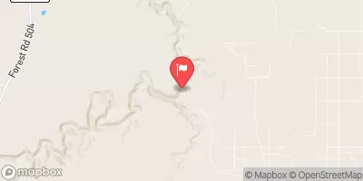
Chevelon Fork Below Wildcat Canyon, Nr Winslow, Az Realtime Data
CHEVELON FORK BELOW WILDCAT CANYON, NR WINSLOW, AZ
Realtime Data • Report • Conditions
333
Discharge (cfs)
4.9
Gauge Height (ft)
USGS 09397500
Streamflow discharge was last observed at 333 cfs, and a gauge height of 4.93 feet.
With the
% decrease since yesterday,
the streamflow average over the past 10 days is 117 .
Weather today, Tomorrow,
The watershed is fed by snowmelt and summer thunderstorms, causing seasonal fluctuations in flow. There are no major dams on the creek, but there are several smaller ones in the upper reaches. The hydrology of the area is unique, as the creek flows through a narrow, steep canyon with many waterfalls and pools. The area is also known for its fishing, with trout being the primary catch. Overall, the Chevelon Fork is an important water source for the surrounding region and offers a scenic destination for outdoor enthusiasts.
October 23, 2026
| Elevation | 5,910.0 ft |
| Last Updated | |
| Gage height, ft | 4.93 ft |
| Streamflow, ft³/s | 333.0 ft3/s |
| Precipitation, total, in | 0.0 in |
| Percent of Normal | 1,771% |
| Year Over Year Average | 19 cfs |
| 24hr Flow Prediction | cfs |
| Maximum Recorded | 4,450 cfs |
| Geolocation | 34.64, -110.71 |
 Continue with Snoflo Premium