

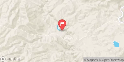
Eagle Creek Above Pumping Plant, Near Morenci, Az. Realtime Data
EAGLE CREEK ABOVE PUMPING PLANT, NEAR MORENCI, AZ.
Realtime Data • Report • Conditions
1,020
Discharge (cfs)
4.7
Gauge Height (ft)
Streamflow discharge was last observed at 1,020 cfs, and a gauge height of 4.73 feet.
With the
% decrease since yesterday,
the streamflow average over the past 10 days is 130 .
Weather today, Tomorrow,
The flow is mainly provided by snowmelt from the White Mountains, and the gauge can provide information on water availability for irrigation, recreation, and wildlife habitat. The gauge is located upstream of the Pumping Plant, which diverts water into the Salt River for use downstream. Seasonal trends show that the flow is highest in the spring due to snowmelt, and lowest in the fall and winter. Interesting facts include the presence of several dams and diversions along the Eagle Creek, which can impact the flow, and the occurrence of flash floods during monsoon season.
October 23, 2026
| Elevation | 3,661.0 ft |
| Last Updated | |
| Gage height, ft | 4.73 ft |
| Streamflow, ft³/s | 1020.0 ft3/s |
| Precipitation, total, in | 0.0 in |
| Percent of Normal | 3,306% |
| Year Over Year Average | 31 cfs |
| 24hr Flow Prediction | cfs |
| Maximum Recorded | 2,370 cfs |
| Geolocation | 33.07, -109.44 |
 Continue with Snoflo Premium