

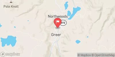
Filler Ditch At Greer, Ariz. Realtime Data
FILLER DITCH AT GREER, ARIZ.
Realtime Data • Report • Conditions
1
Discharge (cfs)
1.3
Gauge Height (ft)
Streamflow discharge was last observed at 1 cfs, and a gauge height of 1.26 feet.
With the
% decrease since yesterday,
the streamflow average over the past 10 days is 2 .
Weather today, Tomorrow,
This streamgauge is fed by several tributaries, including the East Fork of the Little Colorado River and the South Fork of the Little Colorado River, and operates year-round. There are no major dams on this waterway. The flow of the Filler Ditch is affected by seasonal trends, with the highest flow occurring in the spring and summer months due to snowmelt and monsoon rains. Interestingly, this streamgauge is also used to monitor the water quality of the Little Colorado River. Overall, the Filler Ditch at Greer, AZ Streamgauge is an essential component of the hydrology in the area.
October 9, 2026
| Elevation | 8,299.0 ft |
| Last Updated | |
| Gage height, feet | 1.26 ft |
| Streamflow, ft3/s | 1.36 ft3/s |
| Percent of Normal | 14% |
| Year Over Year Average | 10 cfs |
| 24hr Flow Prediction | cfs |
| Maximum Recorded | 37 cfs |
| Geolocation | 34.02, -109.46 |
 Continue with Snoflo Premium