

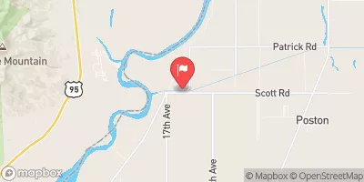
Poston Wasteway Near Poston, Az. Realtime Data
POSTON WASTEWAY NEAR POSTON, AZ.
Realtime Data • Report • Conditions
5
Discharge (cfs)
19.8
Gauge Height (ft)
USGS 09428510
Streamflow discharge was last observed at 5 cfs, and a gauge height of 19.79 feet.
With the
% decrease since yesterday,
the streamflow average over the past 10 days is 102 .
Weather today, Tomorrow,
The main flow provider is the Colorado River, with potential tributaries from the Bill Williams River and Gila River. There are no major dams in the immediate vicinity. Seasonal trends show higher flows in the spring due to snowmelt and lower flows in the summer due to increased evaporation and water usage. Interestingly, the wasteway was originally built in the 1940s as a flood control measure to protect the Poston internment camp during World War II. Today, it serves as an important water management tool for the region.
October 23, 2026
| Elevation | 332.0 ft |
| Last Updated | |
| Mean water velocity for discharge computation, feet per second | 0.05 ft/sec |
| Gage height, ft | 19.79 ft |
| Streamflow, ft³/s | 4.71 ft3/s |
| Percent of Normal | 6% |
| Year Over Year Average | 93 cfs |
| 24hr Flow Prediction | cfs |
| Maximum Recorded | 1,140 cfs |
| Geolocation | 34.00, -114.45 |
 Continue with Snoflo Premium