

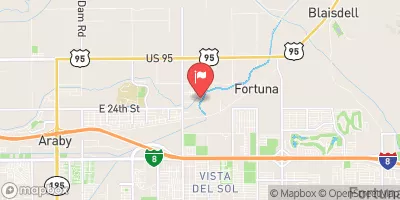
South Gila Main Canal Near Yuma, Az. Realtime Data
SOUTH GILA MAIN CANAL NEAR YUMA, AZ.
Realtime Data • Report • Conditions
32
Discharge (cfs)
12.6
Gauge Height (ft)
USGS 09522800
Streamflow discharge was last observed at 32 cfs, and a gauge height of 12.62 feet.
With the
% decrease since yesterday,
the streamflow average over the past 10 days is 59 .
Weather today, Tomorrow,
The canal serves as a major source of irrigation for agricultural lands in the area. There are no significant tributaries or dams directly affecting the flow at this gauge. Seasonal trends show a peak in flow during the summer months due to snowmelt in the upper reaches of the Gila River watershed. Interestingly, the canal was originally constructed by the Yuma Project in the early 1900s to provide water to the Fort Yuma Indian Reservation.
October 23, 2026
| Elevation | 166.0 ft |
| Last Updated | |
| Mean water velocity for discharge computation, feet per second | 1.1 ft/sec |
| Gage height, ft | 12.62 ft |
| Streamflow, ft³/s | 31.8 ft3/s |
| Percent of Normal | 87% |
| Year Over Year Average | 37 cfs |
| 24hr Flow Prediction | cfs |
| Maximum Recorded | 154 cfs |
| Geolocation | 32.69, -114.47 |
 Continue with Snoflo Premium