

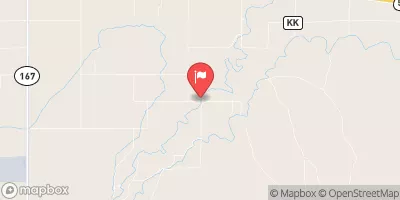
Apishapa River Near Fowler, Co. Realtime Data
APISHAPA RIVER NEAR FOWLER, CO.
Realtime Data • Report • Conditions
5
Discharge (cfs)
2.2
Gauge Height (ft)
USGS 07119500
Streamflow discharge was last observed at 5 cfs, and a gauge height of 2.23 feet.
With the
% decrease since yesterday,
the streamflow average over the past 10 days is 3 .
Weather today, Tomorrow,
It flows through agricultural land and is not affected by any major dams or tributaries. The stream gauge measures the water level and flow rate of the river. Flow providers include snowpack, rainfall, and groundwater discharge. Seasonal trends show that the river typically has higher flow rates in the spring and early summer due to snowmelt. Interesting facts include that the Apishapa River has a unique and diverse ecosystem that supports several species of fish, birds, and other wildlife.
October 14, 2026
| Elevation | 4,326.0 ft |
| Last Updated | |
| Gage height, ft | 2.23 ft |
| Streamflow, ft³/s | 4.96 ft3/s |
| Percent of Normal | 49% |
| Year Over Year Average | 10 cfs |
| 24hr Flow Prediction | cfs |
| Maximum Recorded | 2,930 cfs |
 Continue with Snoflo Premium