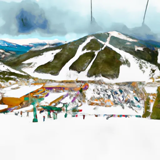
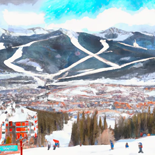
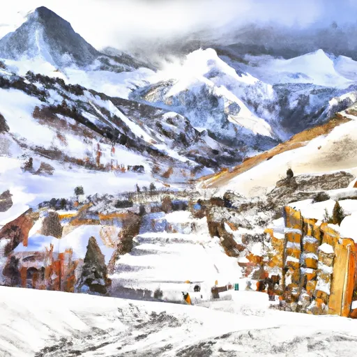
Colorado Snowpack & Snow Report
As of Jul 31, 2026, Colorado's snowpack is at 26% of normal across 44 SNOTEL stations — the deepest is 54" at Tower. Live SNOTEL snow depth, snowfall, snow-water equivalent, and 5-day forecasts for every mountain in Colorado.
Colorado's snowpack is at 26% of normal for today's date — well below the 70% drought-stress threshold. The deepest station is Tower with 54" on the ground (seasonal average 66"). Deadman Hill is the coldest right now at 25°F. The biggest expected snowfall over the next 5 days is at Willow Park: 19".
The Colorado snowpack is monitored by the USDA NRCS SNOTEL network — automated stations sitting on the mountain that report snow depth, snow water equivalent (SWE), and air temperature every hour. Snoflo joins those live readings to a 5-day NOAA forecast for each station so you can see what's on the ground and what's coming.
Use the SNOTEL inventory below to find the closest station to where you're headed. Percent of normal tells you how today's snowpack compares to the historical average for the same date — below 70% is drought-stressed; above 130% is a fat year. Snow water content (SWC) indicates how wet and dense the snowpack is — useful for water-supply planning and avalanche stability assessment.
For backcountry travel always cross-reference with your regional avalanche center at avalanche.org.
State-wide snowpack overview
Today's standouts across the Colorado SNOTEL network -- the deepest snowpack, coldest mountain, biggest expected snowfall, and how the state sits versus normal.
Percent of normal
100% is the historical norm for today's date. Below 70% is drought-stressed; above 130% is a fat year.
Deepest snowpack
vs 66" seasonal average
Coldest station
Elevation 10,220 ft
Biggest 5-day forecast
Expected fresh snow over the next 5 days
Colorado snowpack monitoring sites
Showing the top 10 deepest SNOTEL stations in Colorado — 34 more hidden. Tap any station for its full history.
| Snowpack monitoring site | Snowpack (in) | Snowfall (in) | 24hr fcst (in) | Next 72hrs (in) | Temp (°F) | % Normal | SWC (%) | Watershed | Elevation (ft) |
|---|---|---|---|---|---|---|---|---|---|
|
Rico, Co
Site CARIC_MADIS |
8 | 0 | 0 | 0 | 84 | % | % | Upper Dolores | 8,958 |
|
Cameron Pass, Co
Site CACMP_MADIS |
5 | 0 | 0 | 0 | 72 | % | % | North Platte Headwaters | 10,585 |
|
Lower Elk, Co
Site C3ELK_MADIS |
5 | 0 | 0 | 0 | 88 | % | % | Upper Yampa | 7,236 |
|
Howe Property, Co
Site C3HOW_MADIS |
5 | 0 | 0 | 0 | 90 | % | % | Upper Yampa | 6,665 |
|
Joe Wright, Co
Site 551 |
4 | 0 | 0 | 0 | 72 | % | · | Cache La Poudre | 10,120 |
|
Vallecito, Co
Site 843 |
4 | 0 | 0 | 0 | 73 | % | 5% | Upper San Juan | 10,880 |
|
Nohrsc Joe Wright, Co
Site JWRC2 |
4 | 0 | 0 | 0 | 72 | % | · | Cache La Poudre | 10,224 |
|
Stump Lakes, Co
Site STPC2 |
4 | 0 | 0 | 0 | 68 | % | % | Animas | 11,273 |
|
Nohrsc Vallecito, Co
Site VALC2 |
4 | 0 | 0 | 0 | 73 | % | 8% | Upper San Juan | 10,732 |
|
Nohrsc Weminuche Creek, Co
Site WMNC2 |
4 | 0 | 0 | 0 | 76 | % | % | Piedra | 10,693 |
34 more Colorado SNOTEL stations
You're seeing the top 10 deepest. Snoflo Premium unlocks every SNOTEL station in Colorado, sortable by any column, filterable, with custom alerts and unlimited favorites.
- All 44 stations
- Sort & filter
- Unlimited alerts & favorites
- 15-day forecasts
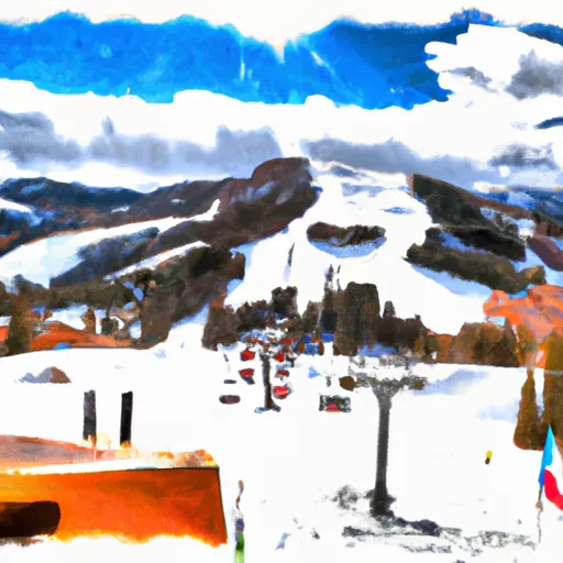
Colorado ski-area meteograms
Per-resort interactive weather forecasts for the next 15 days — temperature curve, precipitation bars, weather symbols, and humidity at every Colorado ski area Snoflo tracks.
-
 Arapahoe Basin
→
Arapahoe Basin
→
-
 Aspen Highlands
→
Aspen Highlands
→
-
 Aspen Mountain
→
Aspen Mountain
→
-
 Beaver Creek Resort
→
Beaver Creek Resort
→
-
 Breckenridge Ski Resort
→
Breckenridge Ski Resort
→
-
 Buttermilk Mountain
→
Buttermilk Mountain
→
-
 Conquistador Ski Resort
→
Conquistador Ski Resort
→
-
 Copper Mountain Resort
→
Copper Mountain Resort
→
-
 Crested Butte Mountain Resort
→
Crested Butte Mountain Resort
→
-
 Cuchara Mountain Resort
→
Cuchara Mountain Resort
→
-
 Durango Mountain Resort
→
Durango Mountain Resort
→
-
 Echo Mountain Park
→
Echo Mountain Park
→
-
 Eldora Mountain Resort
→
Eldora Mountain Resort
→
-
 Hesperus Ski Area
→
Hesperus Ski Area
→
-
 Howelsen Hill Ski Area
→
Howelsen Hill Ski Area
→
-
 Kendall Mountain
→
Kendall Mountain
→
-
 Keystone Resort
→
Keystone Resort
→
-
 Loveland
→
Loveland
→
-
 Monarch Ski & Snowboard Area
→
Monarch Ski & Snowboard Area
→
-
 Powderhorn Resort
→
Powderhorn Resort
→
-
 Silverton Mountain
→
Silverton Mountain
→
-
 Ski Broadmoor
→
Ski Broadmoor
→
-
 Ski Cooper
→
Ski Cooper
→
-
 Ski Estes Park (Hidden Valley)
→
Ski Estes Park (Hidden Valley)
→
-
 Snowmass
→
Snowmass
→
-
 Solvista Basin At Granby Ranch
→
Solvista Basin At Granby Ranch
→
-
 Steamboat Ski Resort
→
Steamboat Ski Resort
→
-
 Sunlight Mountain Resort
→
Sunlight Mountain Resort
→
-
 Telluride
→
Telluride
→
-
 Vail
→
Vail
→
-
 Wolf Creek Ski Area
→
Wolf Creek Ski Area
→
About Colorado snowpack
What is Colorado's snowpack right now?
As of July 31, 2026, Colorado's snowpack is at 26% of normal across 44 SNOTEL stations, and the deepest station is Tower with 54" on the ground. The full SNOTEL table is below.
Where is the deepest snow in Colorado right now?
As of July 31, 2026, the deepest snowpack in Colorado is 54" at Tower. See the SNOTEL station table for the full ranking by depth and snow-water equivalent.
Is Colorado's snowpack above or below normal?
Compare the statewide percent-of-normal on this page: 100% is right at the historical average for the date, below 70% is drought-stressed, and above 130% is a well-above-normal year. Each SNOTEL station also shows its own percent of normal.
Where does the Colorado snowpack data come from?
The USDA NRCS SNOTEL network (SNOpack TELemetry) -- automated mountain stations that continuously measure snow depth, snow water equivalent, precipitation, and air temperature. Snoflo aggregates the live readings and joins them to a 5-day NOAA forecast for each station.
What is Snow Water Equivalent (SWE)?
The depth of water you'd get if you melted the entire snowpack. A 30-inch snowpack with 8 inches of SWE is wetter and denser than one with 5 inches -- useful for water-supply forecasting and avalanche assessment. The "SWC %" column shows the ratio.
What does Percent Normal mean?
Current snowpack as a percentage of the historical average for the same date at that station. 100% is right at the historical norm. Below 70% indicates drought-stressed snowpack; above 130% is a fat year.
How fresh is the Colorado data?
SNOTEL stations transmit hourly; Snoflo re-pulls throughout the day. The 5-day forecasts regenerate from NOAA NOHRSC analysis fields and NWS forecast guidance.
Why are SNOTEL stations only in some states?
The NRCS SNOTEL network is concentrated in the western mountain U.S. -- where the snowpack drives federal water supply forecasts for irrigation, hydropower, and municipal water. Eastern snowpack is measured by other networks (CoCoRaHS, NWS) which Snoflo includes elsewhere.
Is this a substitute for the local avalanche center?
No. For backcountry travel always consult your regional avalanche forecast at avalanche.org. Snoflo is informational data only.