

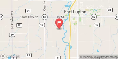
Big Dry Creek At Mouth Near Fort Lupton, Co. Realtime Data
BIG DRY CREEK AT MOUTH NEAR FORT LUPTON, CO.
Realtime Data • Report • Conditions
36
Discharge (cfs)
4.4
Gauge Height (ft)
USGS 06720990
Streamflow discharge was last observed at 36 cfs, and a gauge height of 4.35 feet.
With the
% decrease since yesterday,
the streamflow average over the past 10 days is 33 .
Weather today, Tomorrow,
It has no major tributaries or dams directly impacting its flow. The hydrology of the creek displays seasonal trends, with higher flows in the spring from snowmelt and lower flows in the fall and winter. There are no quirky or interesting facts specific to this stream gauge, but it provides important data for understanding the hydrology of the region and managing water resources. Overall, the Big Dry Creek at mouth near Fort Lupton, CO stream gauge is an essential tool for monitoring and managing the flow of water in the area.
October 10, 2026
| Elevation | 4,902.0 ft |
| Last Updated | |
| Gage height, ft | 4.35 ft |
| Stream water level elevation above NAVD 1988, in ft | 4900.83 ft |
| Streamflow, ft³/s | 35.7 ft3/s |
| Percent of Normal | 107% |
| Year Over Year Average | 33 cfs |
| 24hr Flow Prediction | cfs |
| Maximum Recorded | 775 cfs |
| Geolocation | 40.07, -104.83 |
 Continue with Snoflo Premium