

Big Thompson River At Loveland, Co. Realtime Data
BIG THOMPSON RIVER AT LOVELAND, CO.
Realtime Data • Report • Conditions
6
Discharge (cfs)
0.6
Gauge Height (ft)
Streamflow discharge was last observed at 4 cfs, and a gauge height of 0.60 feet.
With the
% decrease since yesterday,
the streamflow average over the past 10 days is 10 .
Weather today, Tomorrow,
The river has several tributaries, including the North Fork and South Fork, and is impounded by the Olympus Dam. The flow of the river varies seasonally, with peak flows occurring during the spring and early summer months, and lower flows during the fall and winter. The hydrology of the Big Thompson River is complex, with frequent flash floods and debris flows due to the steep terrain and intense rainfall in the area. In 1976, a catastrophic flood caused significant damage and loss of life in the Loveland area. Despite this, the Big Thompson River remains an important source of water for agriculture, industry, and recreation in northern Colorado.
October 24, 2026
| Elevation | 4,909.0 ft |
| Last Updated | |
| Gage height, ft | 0.6 ft |
| Streamflow, ft³/s | 3.97 ft3/s |
| Stream water level elevation above NAVD 1988, in ft | 4907.56 ft |
| Percent of Normal | 58% |
| Year Over Year Average | 11 cfs |
| 24hr Flow Prediction | cfs |
| Maximum Recorded | 1,750 cfs |
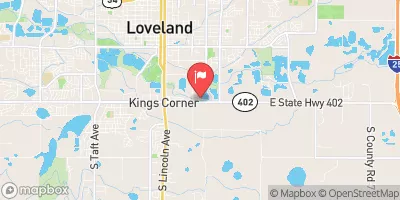
| Geolocation | 40.38, -105.06 |
 Continue with Snoflo Premium