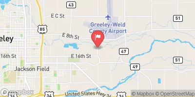
Streamflow discharge was last observed at 58 cfs, and a gauge height of 1.26 feet.
With the
% decrease since yesterday,
the streamflow average over the past 10 days is 44 .
Weather today, Tomorrow,
The river is mainly fed by snowmelt from the Rocky Mountains, and its flow is largely dependent on seasonal changes. The river also has several tributaries, including the North Fork and the South Fork, and is regulated by several dams, including the Horsetooth Dam and the Milton Seaman Reservoir Dam. Interestingly, the river was named by French trappers who stored gunpowder (la poudre) in caches along the river during the 1820s. Overall, the Cache la Poudre River represents an important and complex hydrological system that plays a critical role in the water supply of northern Colorado.
| Elevation | 4,612.0 ft |
| Last Updated | |
| Gage height, feet | 1.26 ft |
| Streamflow, ft3/s | 58.2 ft3/s |
| Percent of Normal | 90% |
| Year Over Year Average | 65 cfs |
| 24hr Flow Prediction | cfs |
| Maximum Recorded | 2,280 cfs |
| Geolocation | 40.42, -104.64 |