 Get More With Premium


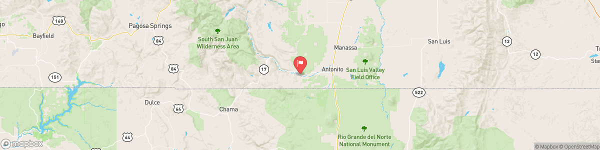
CONEJOS RIVER NEAR MOGOTE
USGS 08246500
FLOOD WARNING
* WHAT...Flooding caused by excessive rainfall continues. * WHERE...Southwestern Saguache, Central Mineral and Western Rio Grande Counties... * WHEN...Until 315 PM MDT. * IMPACTS...Flooding of rivers, creeks, streams, and other low-lying and flood-prone locations is occurring. * ADDITIONAL DETAILS... - At 1234 PM MDT, Gauge reports indicate high water levels in area creeks and streams continuing, although many locations in the San Juan Mountains have crested and have begun to slowly fall. Over the western ...

Today, A chance of showers and thunderstorms, then showers and possibly a thunderstorm after 9am. High near 54. Light and variable wind becoming east southeast 5 to 10 mph in the morning. Chance of precipitation is 100%. New rainfall amounts between a quarter and half of an inch possible.
Tomorrow, A chance of showers and thunderstorms, then showers and possibly a thunderstorm after 9am. High near 54. Light and variable wind becoming east southeast 5 to 10 mph in the morning. Chance of precipitation is 100%. New rainfall amounts between a quarter and half of an inch possible.
5-Day Forecast
Long Term Forecast
16-Day Forecast