

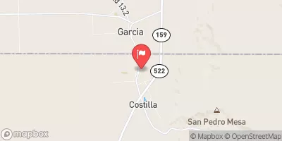
Costilla Creek Near Garcia, Co Realtime Data
COSTILLA CREEK NEAR GARCIA, CO
Realtime Data • Report • Conditions
0
Discharge (cfs)
1.9
Gauge Height (ft)
USGS 08261000
Streamflow discharge was last observed at 0 cfs, and a gauge height of 1.90 feet.
With the
% decrease since yesterday,
the streamflow average over the past 10 days is 1 .
Weather today, Tomorrow,
The main constituents of the flow are snowmelt and precipitation, with potential related tributaries including the Rio Costilla and Rio de la Yegua. Seasonal trends show peak flows in late spring to early summer, with lower flows in the fall and winter. Interestingly, the hydrology of the area is impacted by the volcanic geology of the region, with lava flows and basaltic formations affecting the water flow. Additionally, the nearby Rio Grande National Forest plays a role in regulating water flow in the region.
October 2, 2026
| Elevation | 7,775.0 ft |
| Last Updated | |
| Gage height, ft | 1.9 ft |
| Streamflow, ft³/s | 0.22 ft3/s |
| Percent of Normal | 15% |
| Year Over Year Average | 2 cfs |
| 24hr Flow Prediction | cfs |
| Maximum Recorded | 464 cfs |
| Geolocation | 36.99, -105.53 |
 Continue with Snoflo Premium