

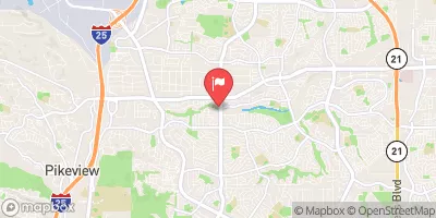
Cottonwood Ck At Union Blvd Realtime Data
COTTONWOOD CK AT UNION BLVD
Realtime Data • Report • Conditions
3
Discharge (cfs)
10.9
Gauge Height (ft)
USGS 07103987
Streamflow discharge was last observed at 4 cfs, and a gauge height of 10.94 feet.
With the
% decrease since yesterday,
the streamflow average over the past 10 days is 4 .
Weather today, Tomorrow,
The primary flow providers are snowmelt and precipitation, with some contribution from groundwater. There are no major dams on Cottonwood Creek, but there are several smaller diversion structures. Seasonal trends show higher flows in the spring and early summer due to snowmelt, while lower flows occur in the fall and winter. Interestingly, the gauge is located within a park and is often used for educational purposes, including teaching about the importance of stream monitoring and water conservation.
October 23, 2026
| Elevation | 6,485.0 ft |
| Last Updated | |
| Gage height, ft | 10.94 ft |
| Streamflow, ft³/s | 4.0 ft3/s |
| Stream water level elevation above NAVD 1988, in ft | 6486.75 ft |
| Percent of Normal | 118% |
| Year Over Year Average | 3 cfs |
| 24hr Flow Prediction | cfs |
| Maximum Recorded | 1,550 cfs |
| Geolocation | 38.93, -104.78 |
 Continue with Snoflo Premium